Nestled between Manitou Springs on the west and Colorado Springs on the east, the Manitou Section 16 Open Space overlaps with the Red Rock Canyon Open Space to the north, just off Highway 24. Both of these systems connect to two other regional parks, creating a massive complex of trails that delights hikers of all ages and abilities. This route follows three trails through two territories for one heckuva hike! For the eager, this route can be augmented with the Mt. Buckhorn hike, and even the Seven Bridges & Kineo Mountain hike for the all-day trekker.
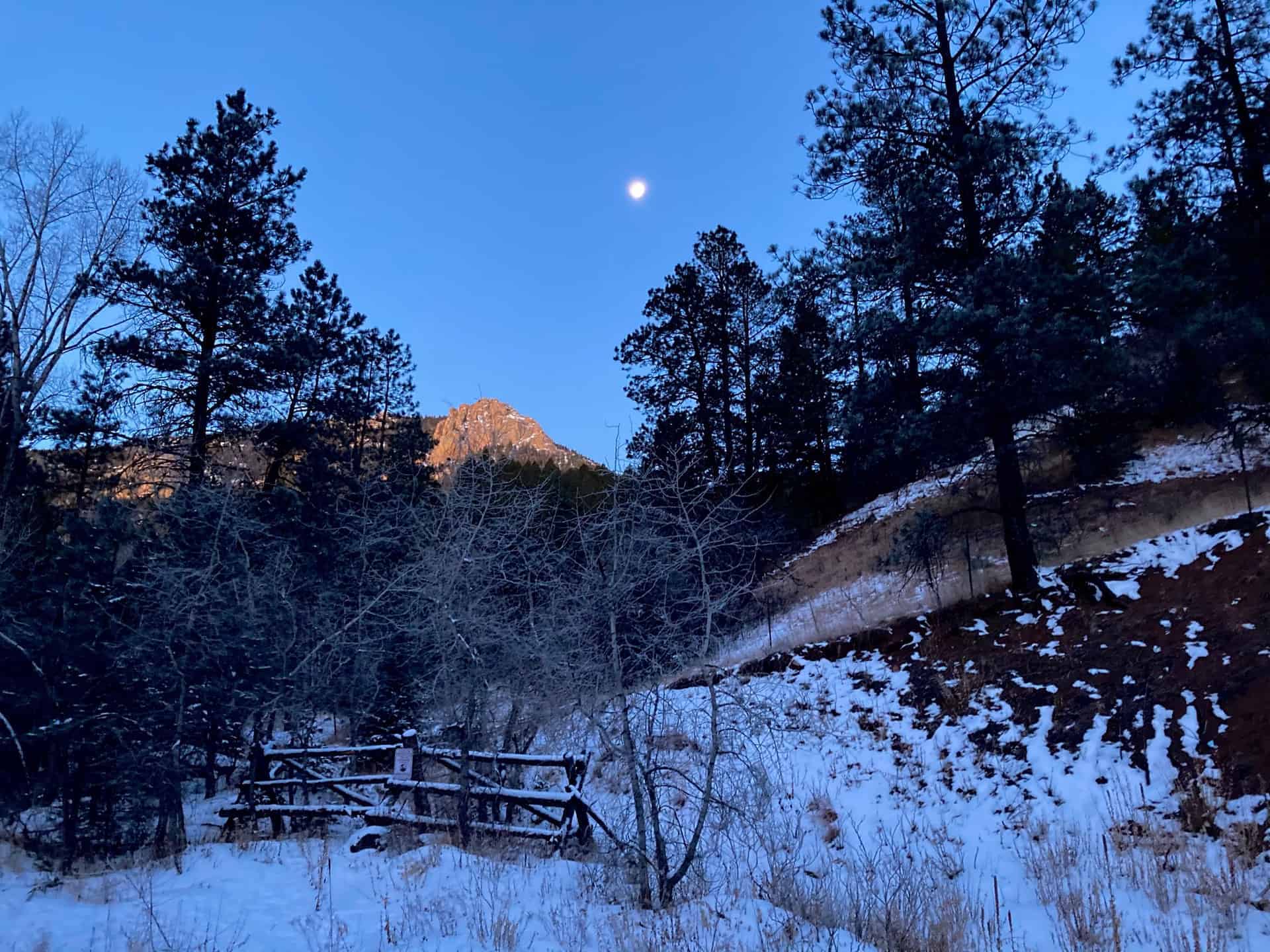
The surprising aspect of this Section 16 hike is its immediacy — within minutes of turning off the highway the trailhead appears. Within minutes of leaving the trailhead the cityscape disappears. Even better, this hike delights hikers in all seasons: the new growth of spring, the full blossom of summer, the changing colors of fall, and the magically reflective light of winter’s snow. Explore the full Section 16 Hike profile below for trail map, driving directions, and more tips and details to help you enjoy this year-round adventure just south of Denver.
Trail Snapshot: Section 16 Trail
| Hike Distance | 5.5-6.25 miles Round Trip |
|---|---|
| Difficulty | Moderate |
| Duration | Approx 3-4hr |
| Trail Type | Loop |
| Starting Elevation | 6,600′ |
| Elevation Gain | Approx +1,300′ |
| Seasons | Year Round |
| Dogs | Allowed On Leash |
| Hike Trail Map | Click for Trail Map of Section 16 Hike |
| Denver Drive Time | 1.25 hours |
| Driving Directions to Section 16 Trailhead (Section 16) | Click for Google Map |
| Town Nearest Hike | Manitou Springs and Colorado Springs, Colorado |
| Beauty | Pike’s Peak, views of Colorado Springs |
| Activities | Hiking, Biking, Snowshoeing |
Parking & Trailhead Information for Section 16 Trail
From Denver, cruising south on I-25, take exit 141 for Highway 24 West. After approximately 1.5 miles, turn left (south) onto 21st Street, and then shortly thereafter, right (west) onto Lower Gold Camp Road. Staying straight through the 4-way stop (junction with Bear Creek Road), the Palmer Red Rock (Section 16 Open Space) trailhead is just under one mile up on the right. This parking lot offers about a dozen head-in spots and fills fast; another pullout parking lot is available up the road on the left.
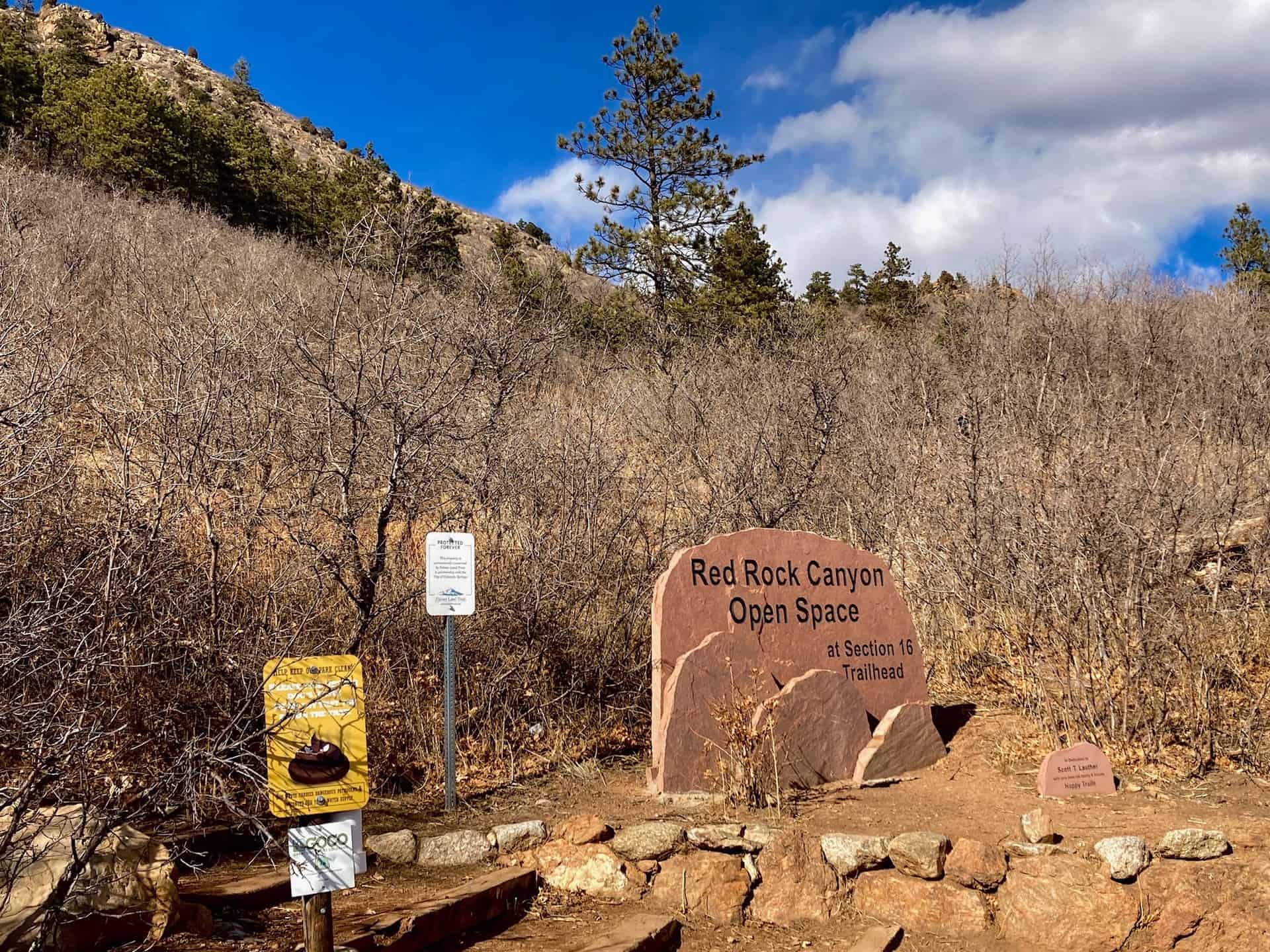
The Hike: Section 16 Trail in Red Rock Canyon Open Space
While many hikers jump straight into the trek by ascending the stairs at the trailhead, taking a counter-clockwise tack, the following notes describe a clockwise path. This direction provides a spectacular viewing angle on Pike’s Peak, and positions hikers for a fun descent through the trees at the end.
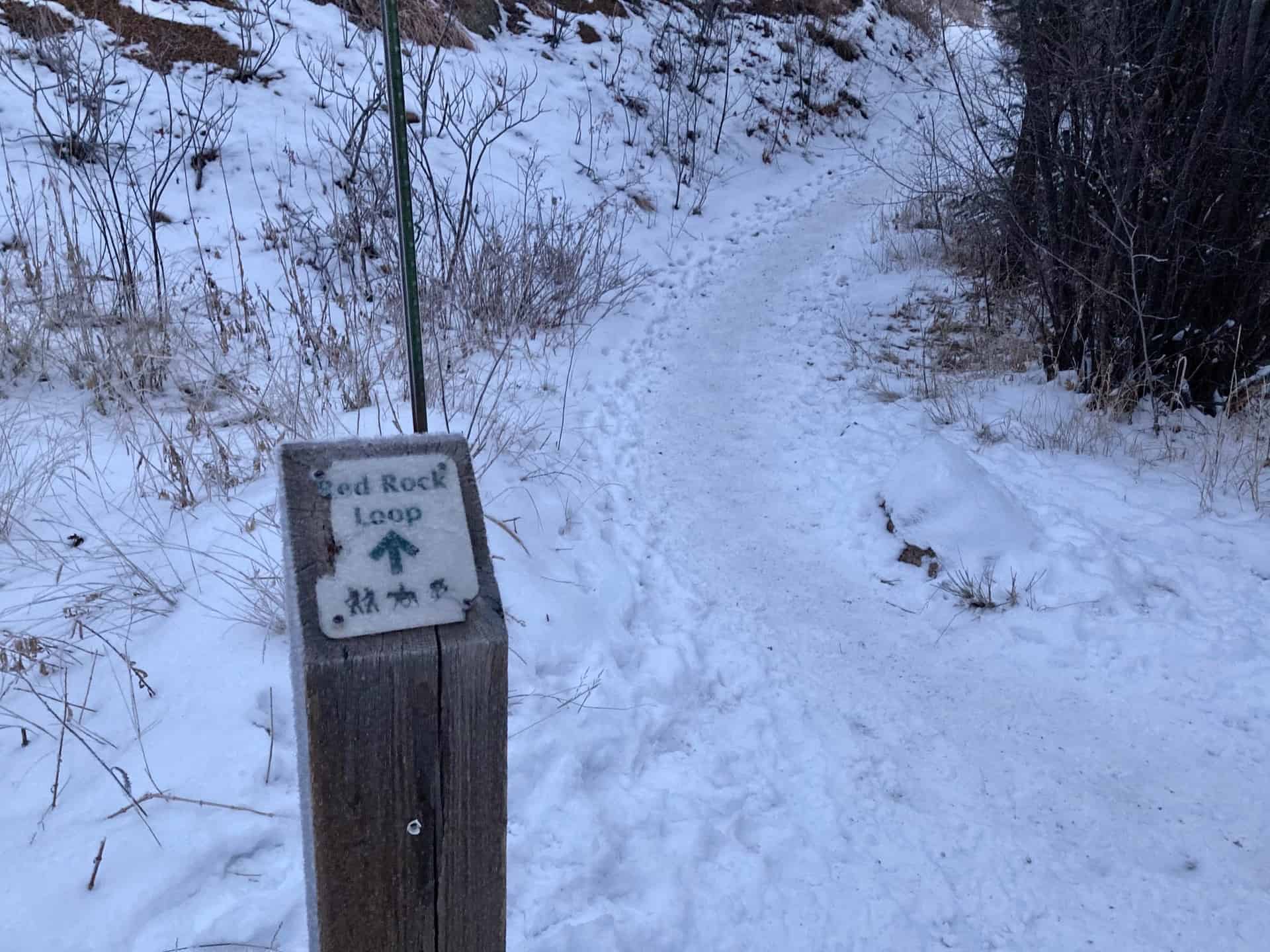
Leaving the parking lot, continuing up Gold Camp Road (which actually heads southwest), the route joins High Drive after 1/4-mile just as the road turns sharply left. High Drive meanders up into the backcountry past split-rail fences, over rock bridges, and through wide slot canyons. At approximately the 1-mile mark, the junction for the Section 16 Trail branches off to the right.
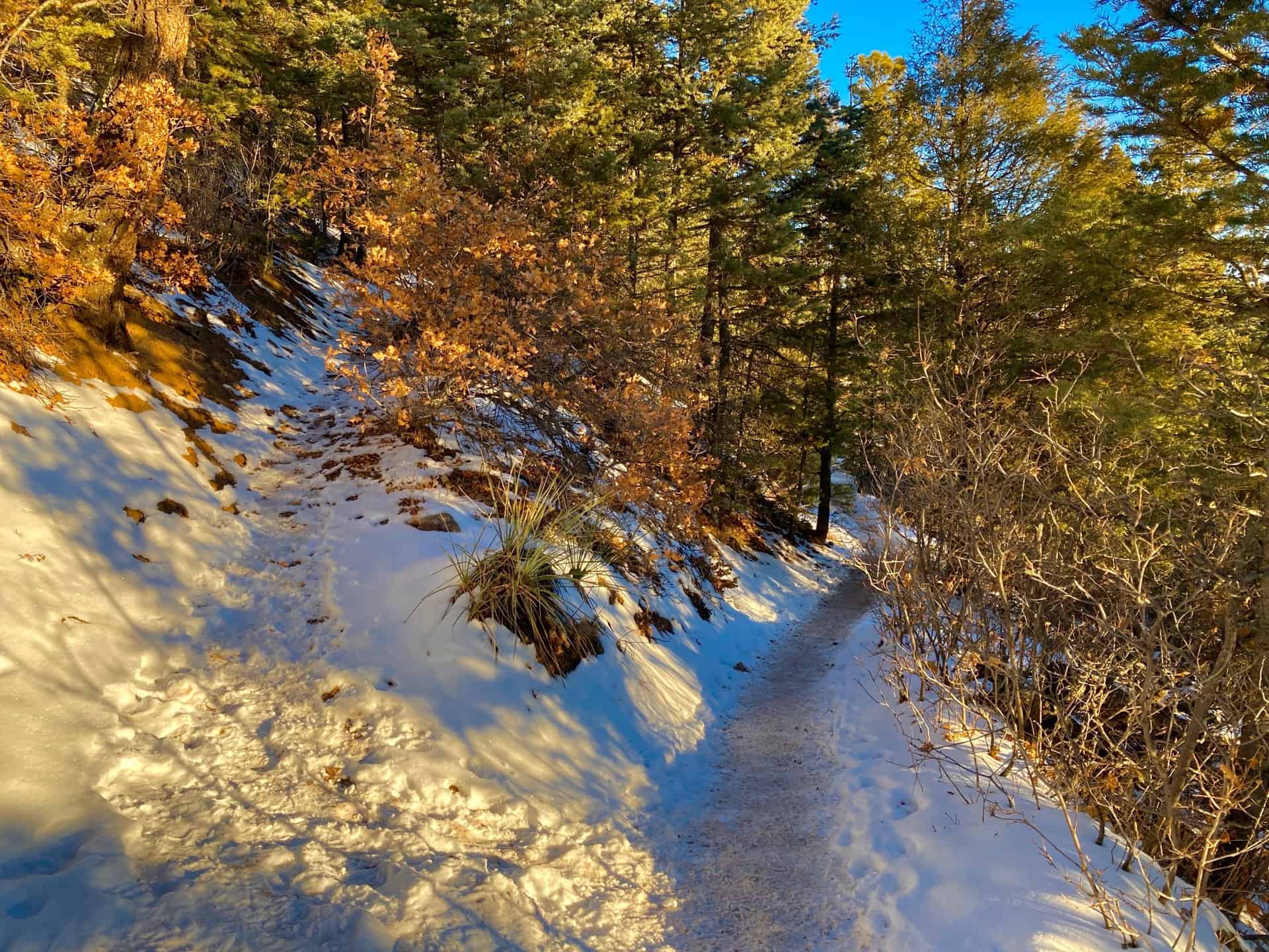
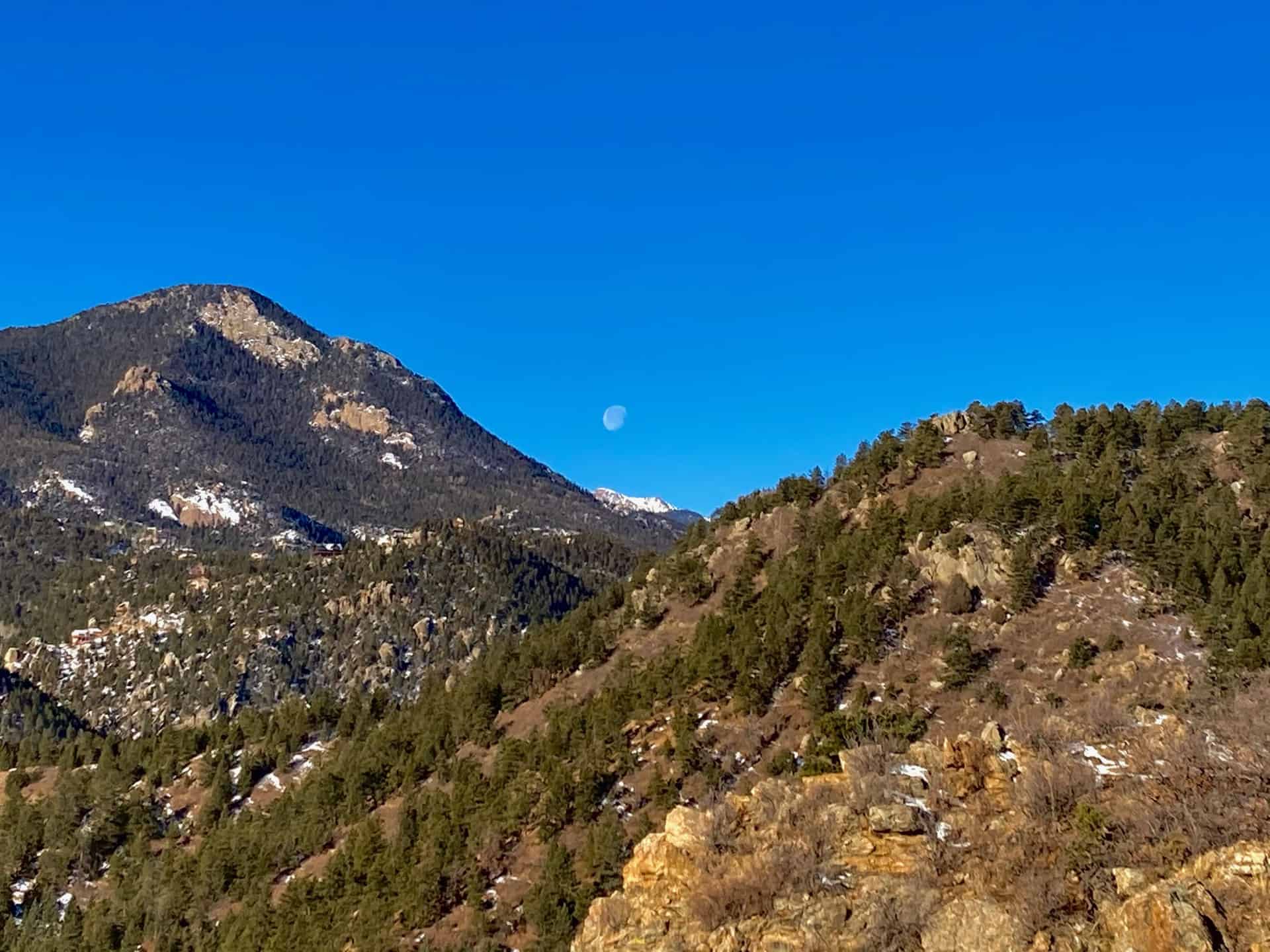
Now on Section 16 trail officially, the trail weaves in and out of forest, gently ascending toward a top elevation of nearly 7,900ft. At this point, around the 3.5 miles, watch for a connector trail shooting off to the left. For the curious, a short jaunt out and back affords sweeping views of peaks around Manitou Springs, as well as Garden of the Gods outside Colorado Springs.
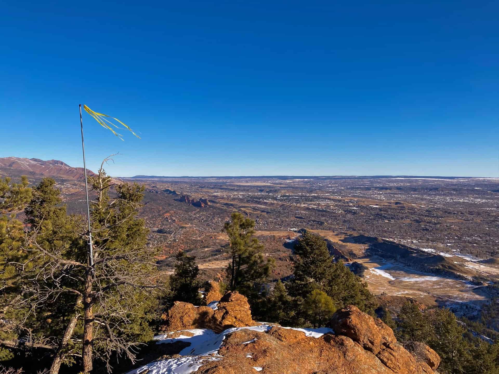
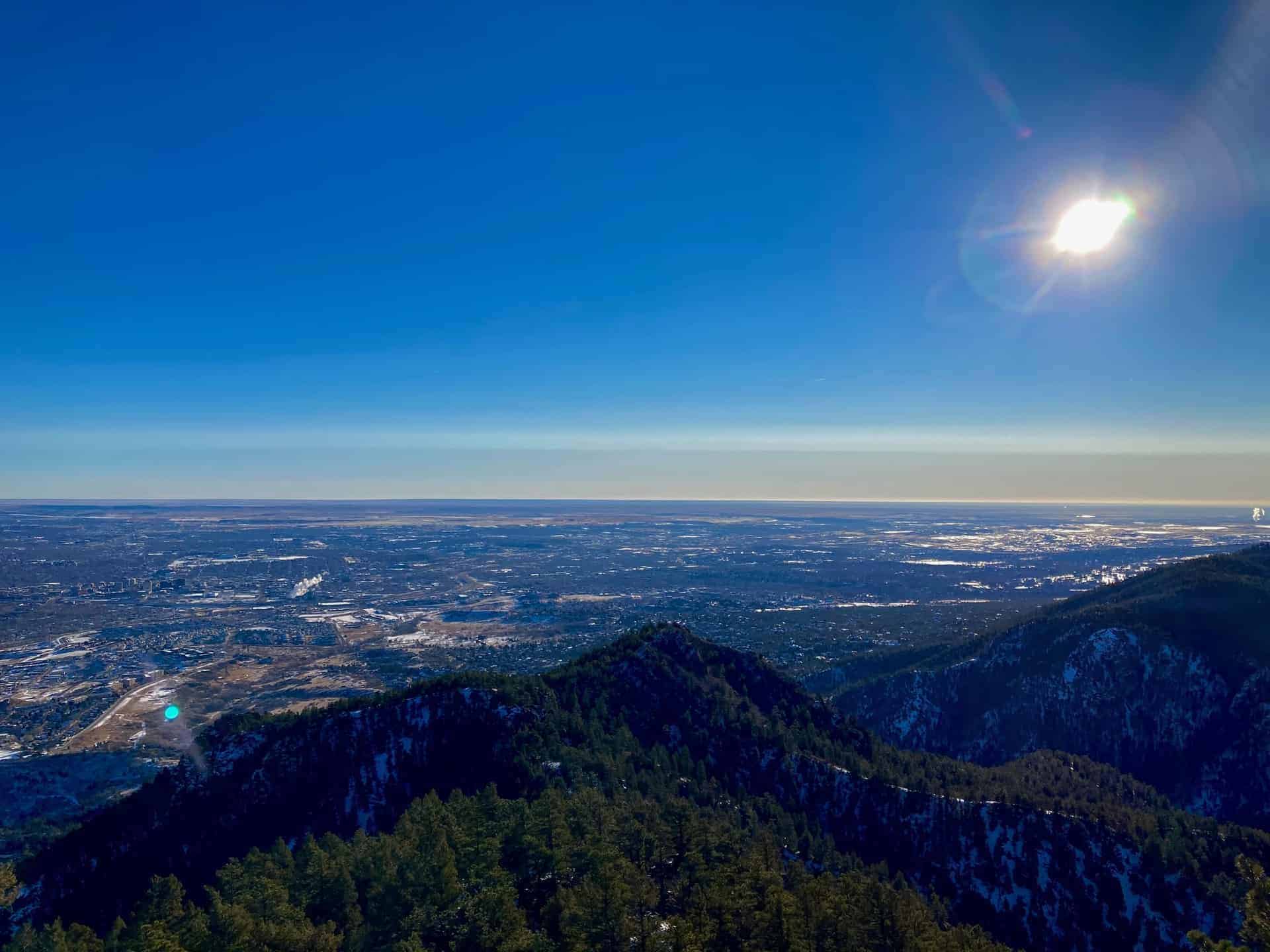
Staying right and beginning a descent, the Section 16 Trail continues another 3/4-mile to an excellent excursion on an unmarked overlook trail. The tributary is heavily trafficked and easy to identify: it runs straight out from the main trail just prior to a moderate lefthand descent deep into the forest and rounds of switchbacks. The overlook ridge out-and-back adds approximately 3/4-mile to the overall milage of this loop. Once at the ridge edge, the sprawling plains of Colorado Springs spread out like a carpet from the forest’s edge. Turning back toward the main trail, hikers gaze on Pike’s Peak, perched between two converging foothill peaks.
The last part of the Section 16 Hike loop presents hikers with multiple connector trails. Generally staying straight, the trail flows back down and out of the valley approximately 2.25 miles to the parking lot.
Tips & Resources for Hiking Section 16 in the Red Rock Canyon Open Space
- TIP: The two connecting open space trail systems remain popular all year long. Parking fills fast, but an early start helps noticeably. Also, consider carrying a complete map that displays the many connector trails, such as this Red Rock Canyon Open Space Trail Map.
- Trail Map: Section 16 Hike
- Packing List: Always pack the 10 Essentials. Download our Hiking Guide to get the list and dayhiking packing checklist. Additionally, take some time to review our 10 Winter Hiking Tips.
- Colorado Road Conditions: Colorado Road Conditions
- After the Hike: A local favorite, Wild Goose Meeting House (or their counterpart, Good Neighbors Meeting House), captures the essence of downtown COS. Grab a craft coffee and chef-level dish, or later in the day, a local beer on tap. For a quick grab-n-go, consider Wimberger’s Old World Bakery and Delicatessen, on the way out from the trailhead.
Weather
Map & Driving Directions
Click for Driving Directions


