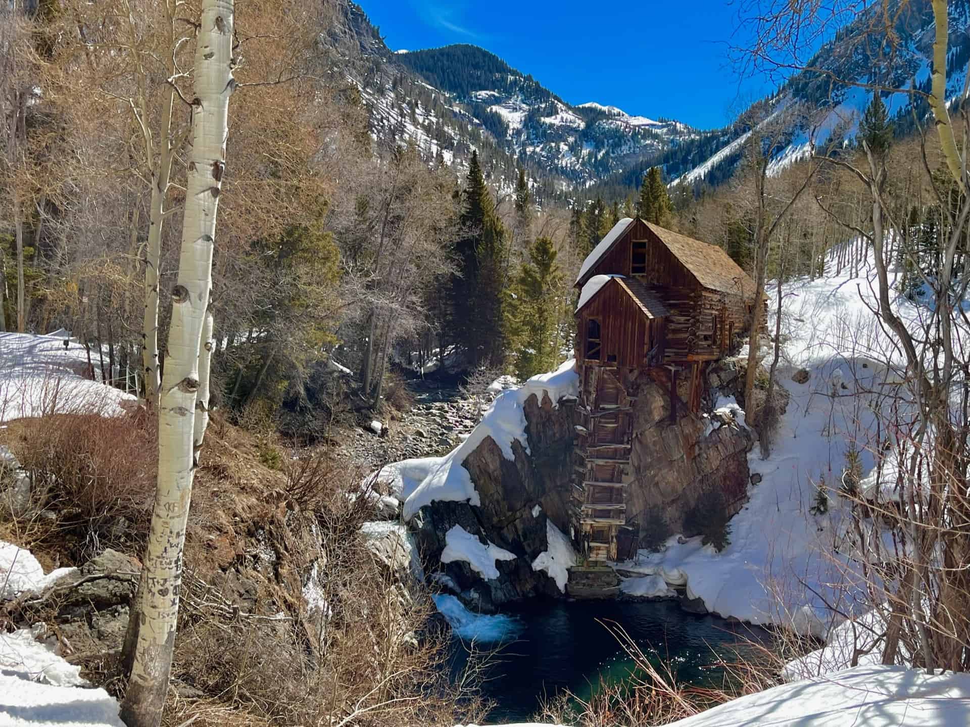
You’ve likely seen the photo, but may not have known how to reach it: Crystal Mill. The legendary Old West structure, built in 1892 during the silver boom, stands tall – yet precariously as ever – in the gorgeous back county of the White River National Forest. The Crystal Mill remains one of the most photographed places in the state, and appears on many Top 10 lists for the mountain west, weaving its way into the heart of locals and tourists alike.
The storied mill carries its mystery into the present day. Efforts are underway as of 2021 to preserve it. Up until now, the landowners and waves of volunteers performed small repairs to stabilize it. More than just a pretty photo spot, this Instagrammer’s dream also supports layers of the local economy. When visiting, you will see a donation box for an opportunity to contribute to its preservation. Also, if you want to proceed beyond the rope at the site, you need to pop into the General Store in Marble to secure and sign a waiver (as of this post, it cost $10). Please be respectful to the private property owners along the entirety of FR314.
Explore the full Crystal Mill Hike profile below for trail map, driving directions, and more tips and details to help you enjoy this classic Colorado site!
Trail Snapshot: Crystal Mill Hike
| Hike Distance | 9 miles Round Trip |
|---|---|
| Difficulty | Easy to Moderate |
| Duration | Approx 4-5hr |
| Trail Type | Out-and-Back |
| Starting Elevation | 8,150′ |
| Elevation Gain | Approx +850′ |
| Seasons | All Seasons |
| Dogs | Allowed On Leash |
| Hike Trail Map | Click for Trail Map of Crystal Mill Hike |
| Denver Drive Time | approx. 4 hours |
| Driving Directions to Marble, CO | Click for Google Map |
| Town Nearest Hike | Marble, Colorado |
| Beauty | River valley, iconic Crystal Mill, Ghost Town |
| Activities | Hiking, Snowshoeing |
Parking & Trailhead Information for Crystal Mill
From Denver, heading west on I-70, take exit 116 toward Snowmass/Aspen, which is State Route 82. Follow 82 East for approximately 12 miles to the turn off for State Route 133, appearing on the right. Follow 133 South through Carbondale and proceed for approximately 21 miles. The road passes through Redstone, where curious travelers can visit the historic “Coke Ovens”. (Nope, this is not the soft drink or the narcotic!) Shortly after, turn left onto County Road 3. About six miles down CR3 the road enters Mable, CO.
County Road 3 becomes Park Street; curve left (north) onto West 2nd Street, then right (east) on West 2nd Street. Turn left (north) onto West 1st Street, then right onto Main Street. Turn left (north) on East 2nd Street, then right (east) on Silver Street, heading toward and around Beaver Lake. (If all of that sounds remarkably confusing, rest easy. Marble is very small, and there are signs indicating the direction toward Crystal Mill. It’s simpler than it reads!) After the lake, at what visibly feels like the end of the street, there is a small parking lot on the left. A sign designates the rest of the road is suitable for high clearance vehicles, only.
Note: Along the way, about 18 miles after the turnoff onto 133 South and just beyond Redstone, the Hayes Creek Falls Waterfall graces the side of the road. This optional stop provides a burst of refreshment from the drive — or from the 9-mile Crystal Mill Hike!
The Hike: Crystal Mill
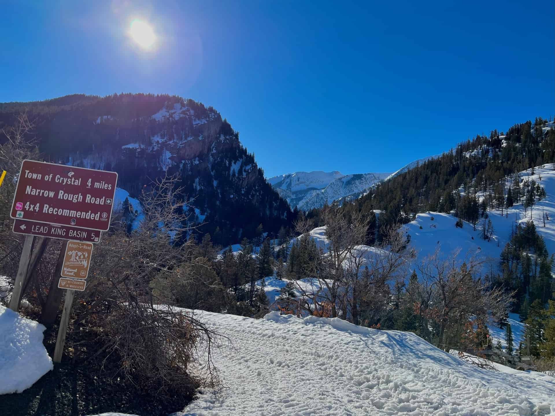
From the parking lot, the trail begins by continuing straight up the road to the east. Slightly beyond the 3/4-mile mark, the road splits. Up and to the left leads to Lead King Basin; the Crystal Mill hike follows the road to the right and down the hill, along Forest Road 314 (look for the small brown sign with “314” aligned vertically), a.k.a. CR3.
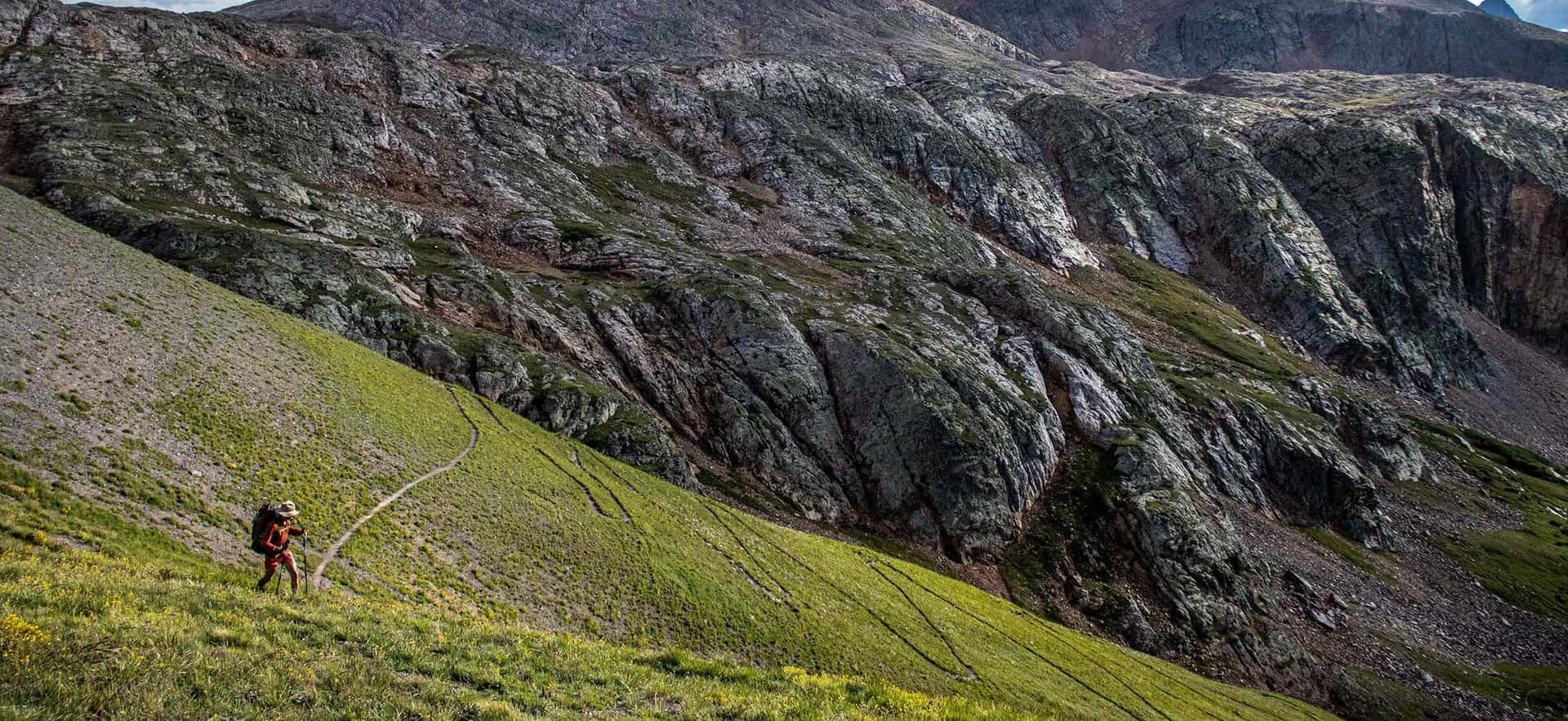
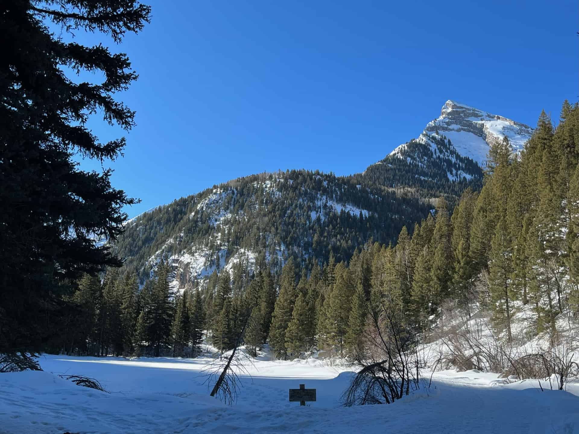
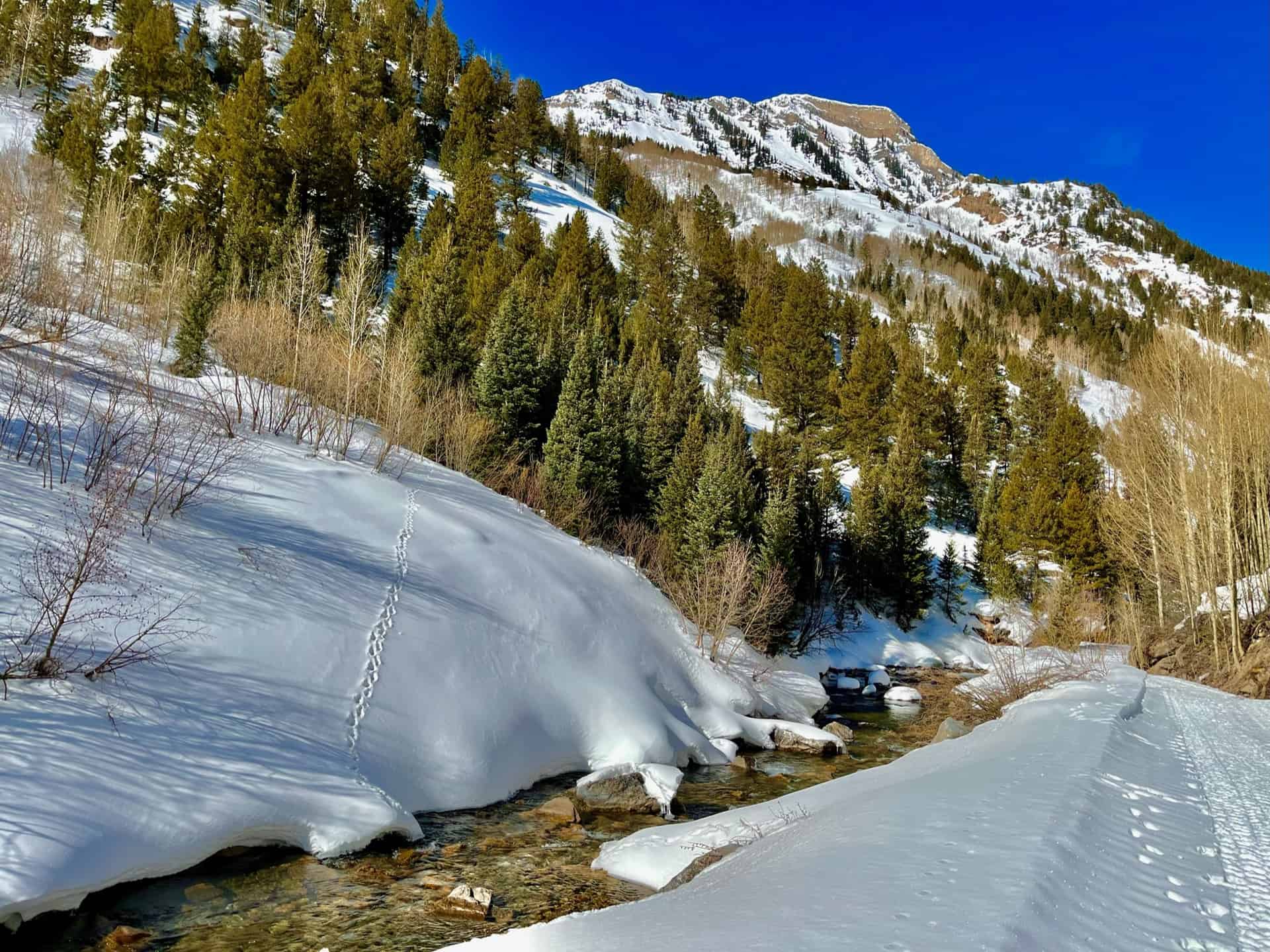
Now, set the cruise control. The stroll from here clocks just under 4 miles one-way. During the summer, the path often attracts ATVs and 4×4 enthusiasts; the fall brings breath-taking aspen colors and their fans. This post documents a winter trek, on which a single snowmobile passed by. Within this blessed solitude, the river basin, Crystal Mill, and the ghost town of Crystal stood frozen in time and silence. On that note, wise hikers will double-check the Colorado Avalanche Information Center prior to stepping out in adventure. While this route typically poses minimal risk, be alert to the slopes above the road and learn the signs of compromised snow fields. At the 1-1/4 mile mark, the trail wraps around the right side of Lizard Lake, often a destination in itself.
From the southeast end of the lake, the trail drifts leisurely on a ridge above Crystal River. No matter the season, the river valley floor sparkles. With gentle elevation changes and no risk of taking a wrong turn, hiking the remaining 3-1/4 miles is pure delight. Upon reaching the mill, the awe-inspiring nature of this historic landmark is impossible to miss. And if time and weather permit, those with energy and curiosity can continue up the road another a few paces to the actual town of Crystal. During the summer months, this often serves as an outpost for impromptu picnics. To return to the trailhead, reverse the route.
Crystal Mill resides on my Mom’s all-time “Must see!” list in Colorado. Whether by foot or 4×4, I hope she gets to see it and take 1,000 pictures.
Tips & Resources for Hiking to the Crystal Mill
- TIP: While the remote location deters some, the sheer popularity of the site beckons people from all over. The small parking lot fills fast in summer and autumn, and even in the winter it can be full. Consider a mid-week visit or plan to go early.
- Trail Map: Crystal Mill Hike
- Packing List: Always pack the 10 Essentials. Download our Hiking Guide to get the list and dayhiking packing checklist. Additionally, take some time to review our 10 Winter Hiking Tips.
- Colorado Road Conditions: Colorado Road Conditions
- After the Hike: Get some back country BBQ at Slow Groovin’! Just note carefully that they operate from May 1st – October 31st.
Weather
Map & Driving Directions
Click for Driving Directions