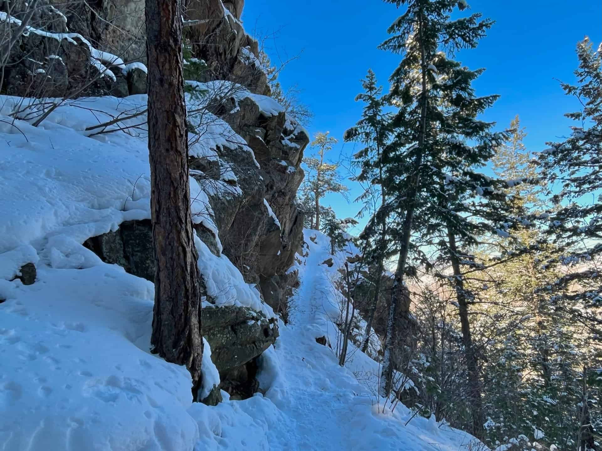
One aspect that commends the Beaver Brook Trail hike to all ranges of ability and interest is its ease of editing. Need a short stroll to clear the mind? Take a stretch to the first vista and turn around. Ready to engage in a healthy, keep-your-wits challenge? Press ahead to the highest point on the trail, which this post describes. The undulating elevation, and the carousel of pine-lined trail, rock ledges, and bursts of expansive valley views entreat hikers to take one more step. (For an exceptionally demanding trek, start with Chimney Gulch Hike).
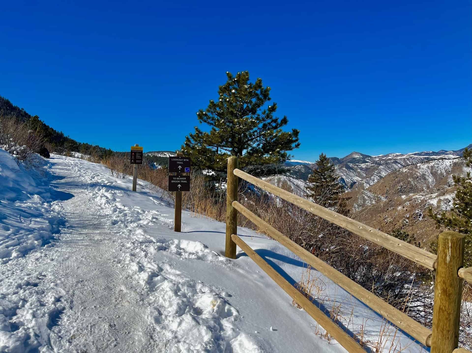
Another advantage may surprise many…the entire length of the formal Beaver Brook Trail remains “HIKE ONLY.” Hikers can stroll without any worry of bikers or skiers. Situated just below the local landmark, Lookout Mountain, the Beaver Brook Trail begins at a split in the Lookout Mountain Trail. Explore the full Beaver Brook hike profile below for trail map, driving directions, and more tips and details to help you enjoy this adventure in Windy Saddle Park near Denver.
Trail Snapshot: Beaver Brook Trail at Windy Saddle Park
| Hike Distance | 11 miles Round Trip (modifiable) |
|---|---|
| Difficulty | Moderate to Difficult |
| Duration | Approx 3+ hrs |
| Trail Type | Out and Back |
| Seasons | All Season |
| Dogs | Allowed On Leash |
| Hike Trail Map | Click for a Map of Windy Saddle Trailhead, or use this 3D Topographical Map to view the entire length of the trail. |
| Denver Drive Time | 35 min |
| Driving Directions to Windy Saddle Trailhead | Click for Google Map |
| Town Nearest Hike | Golden, Colorado |
| Beauty | Rocky Mountain vista at top, views of Golden & Denver |
| Activities | Hiking, trail running |
The Hike: Beaver Brook Trail
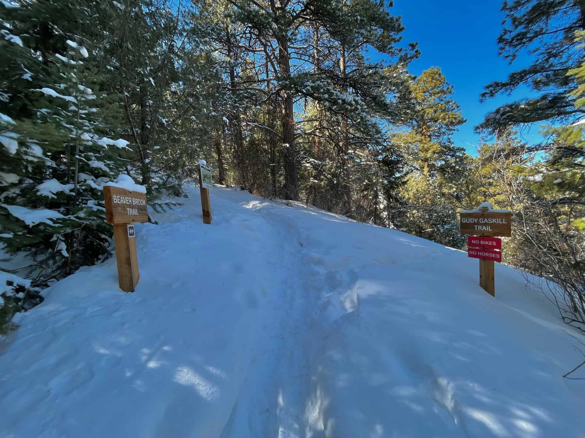
Note: The Beaver Brook Trail continues for almost another 3.5 miles to the official Beaver Brook Trailhead, at Genesee Park, off the Chief Hosa exit on I-70 (Exit 253). Hikes may also start from this location and go toward Windy Saddle. Along the way, multiple side trails, all well-marked, invite further adventure.
Easily accessible from Denver – on average, just a 35 minute drive – this trail empowers the hiker to adjust the length and demands based on the day. Nearly every 1/2-mile the route wraps around a valley wall, giving way to inspiring views of the Rockies. From time to time, Highway 6 (between Golden and Idaho Springs) pops up. The elevation hovers between 6800ft and 7200ft almost the full length; the exception comes at the end, when this route pushes up to 7400ft, then scales to 7750ft to reach the payoff perch.
Tips & Resources for Hiking the Beaver Brook Trail
- TIP: JeffCo designated the entirety of Beaver Brook Trail as “HIKE ONLY.” However, dogs are permitted on-leash. Unlike Chimney Gulch, the Beaver Brook trail offers a quiet, semi-solitary hike.
- TIP: The parking lot is small. Many times, people come and just take in the views and then leave after 15-20min, but some park to hike and keep their spot all day. Consider coming early, or late, and seasonally the trail will be less crowded in winter.
- Trail Map: Beaver Brook Trail Hike
- Packing List: Always pack the 10 Essentials. Download our Hiking Guide to get the list and dayhiking packing checklist. Additionally, take some time to review our 10 Winter Hiking Tips.
- Colorado Road Conditions: Colorado Road Conditions
- After the Hike: Keep the adventure alive! Visit the The Buffalo Bill Museum and Grave.
Weather
Map & Driving Directions for Windy Saddle Trailhead
Click for Driving Directions


