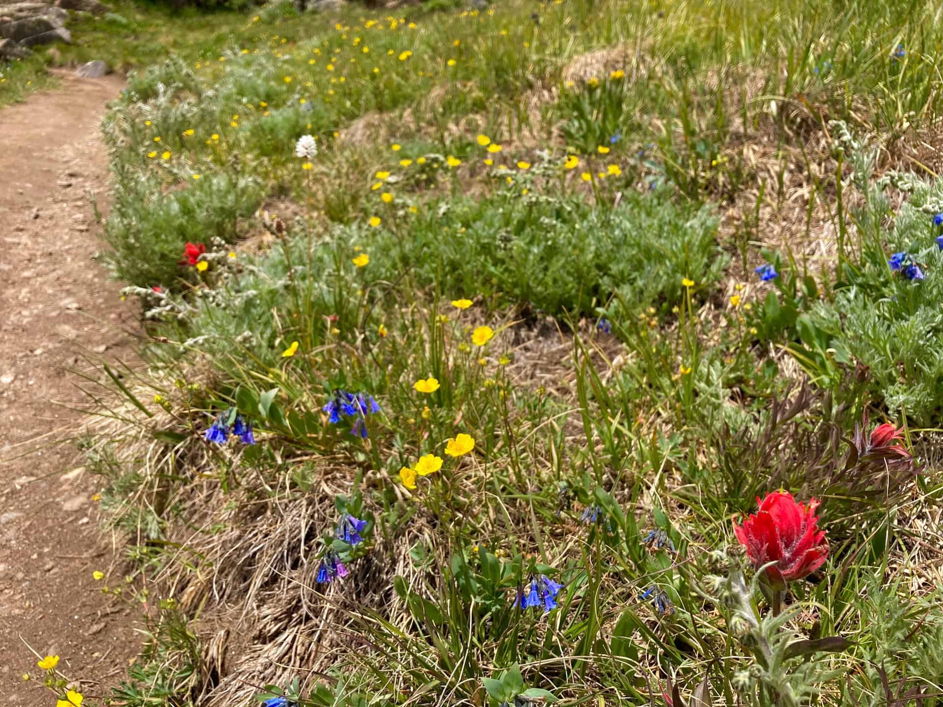
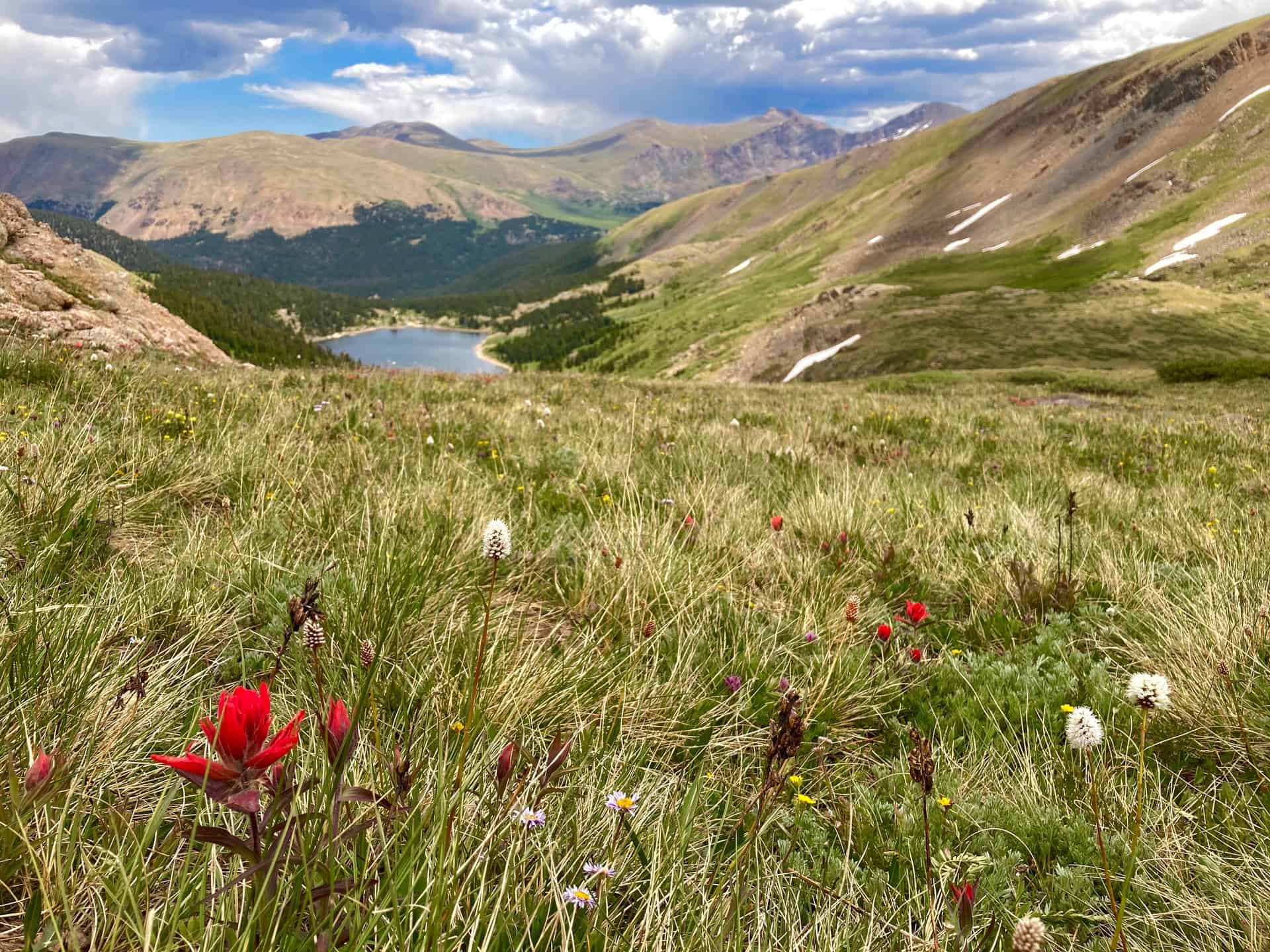
Silver Dollar Lake Trail graces hikers with not just one, but three lakes! This easy to moderate hike, approximately 3-4 miles, treks up lake by lake. Each successive one along the Silver Dollar Lake Trail perches above the previous, creating multiple platforms from which to view the valley, breathe in the beauty, and take pictures. Situated along the stunning Guanella Pass, the hike first skirts the edge of Naylor Lake, then proceeds onto the shore of Silver Dollar Lake, and finally to uppermost Murray Lake. Wildflowers punctuate the landscape all along the way as the trail exits the forest and walks the slope of the ridge through the basin.
Explore the full Silver Dollar and Murray Lakes Hike profile below for trail map, driving directions, and more tips and details to help you enjoy this adventure on Guanella Pass near Denver.
Trail Snapshot: Silver Dollar and Murray Lakes Trail
| Hike Distance | 3-4 miles Round Trip |
|---|---|
| Difficulty | Moderate |
| Duration | Approx 2-3hr |
| Trail Type | Out-and-Back |
| Starting Elevation | 11,200′ |
| Elevation Gain | Approx +1,000′ |
| Seasons | All Year |
| Dogs | Allowed On Leash |
| Hike Trail Map | Click for Trail Map of Silver Dollar and Murray Lakes Hike |
| Denver Drive Time | 1.5 hours |
| Driving Directions to Silver Dollar and Murray Lakes | Click for Google Map |
| Town Nearest Hike | Georgetown, Colorado |
| Beauty | Wildflowers, Guanella Pass, Evergreens, Lakes |
| Activities | Hiking, Fishing, Photography |
Parking & Trailhead Information for Silver Dollar and Murray Lakes Hike
From Denver, heading west on I-70, exit 228 for Georgetown, CO. Going left under the bridge, Georgetown’s Visitor’s Center appears immediately on the right. This is an excellent place to rest before or after a hike. Going straight through the traffic circle and turning right onto Rose Street, Guanella Pass begins at the end of the street, curving up and up! Approximately 8.5 miles up the route sits the Guanella Pass Campground on the west. Just past this the parking for Silver Dollar Lake Trail appears on the right-hand side. Parking lots on both sides of the pass accommodate the crowds; passengers vehicles should park here. Skilled drivers in high-clearance and 4WD vehicles may carefully navigate an additional 0.7 mile stretch up Naylor Lake Road to the official trailhead.
Available parking fills fast. If no spots remain, eager hikers can consider driving three miles further up the pass to the Square Top Lakes Trail, where a larger parking area may still have openings. Square Top Lakes Trail also has a restroom, whereas Silver Dollar Lake Trail does not.
Silver Dollar Lake Trail is quite popular in the summer, but remains open all year for an accessible but challenging (when the snowshoeing adventure) in the winter.
The Hike: Silver Dollar and Murray Lakes Trail
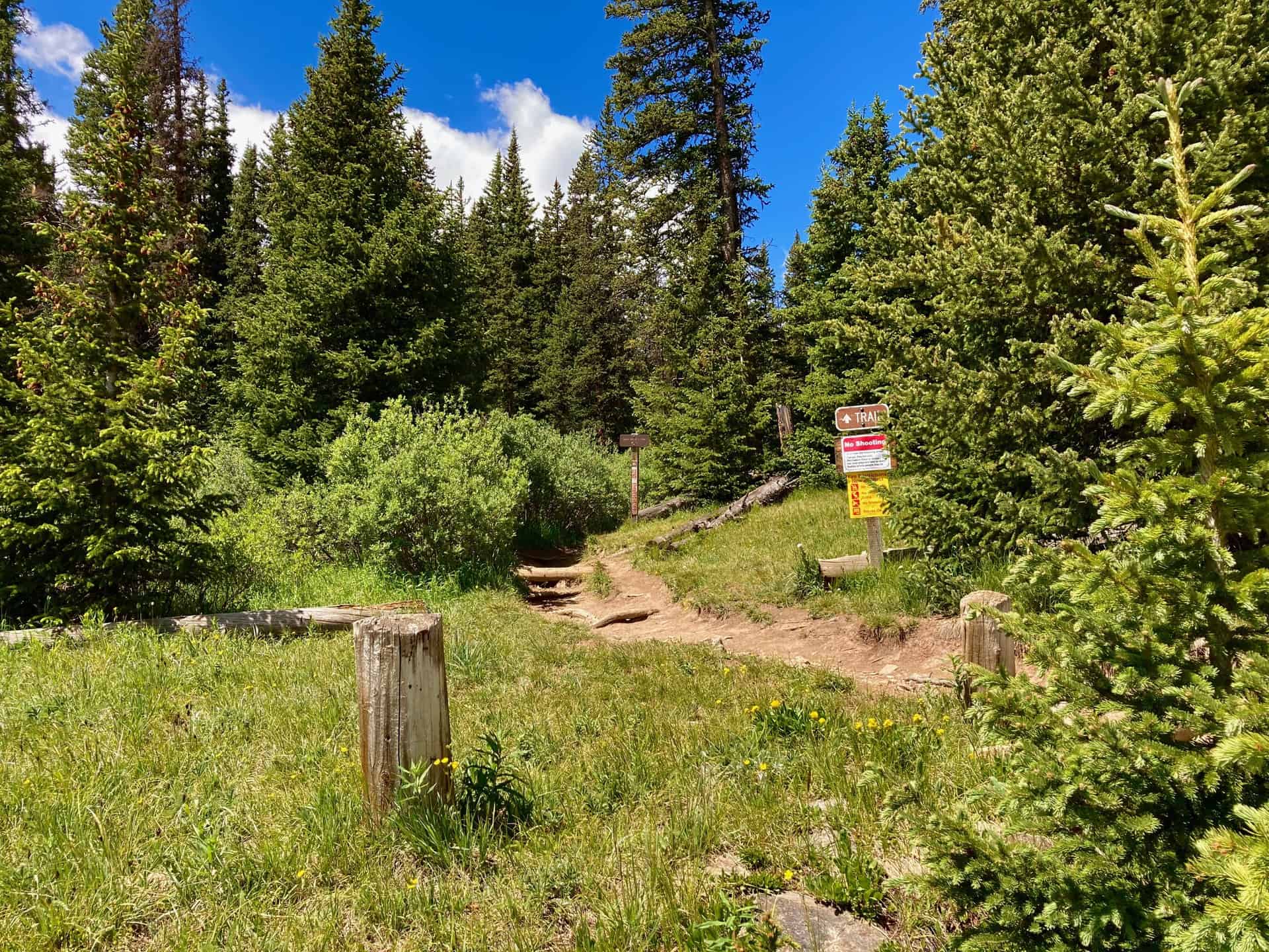
Beginning at the official trailhead, the hike moves in and out of the shade of thick forest. After a steady, strolling ascent, at the 1/2-mile mark, the trail swings left. A “TRAIL” sign directs hikers toward the ridge used to climb up the valley to Silver Dollar Lake. Near this spot, tracked on the GPS map, a short diversion provides a glimpse of Naylor Lake. Please note that private property surrounds the eastern rim of the lake at the end of Naylor Lake Road.
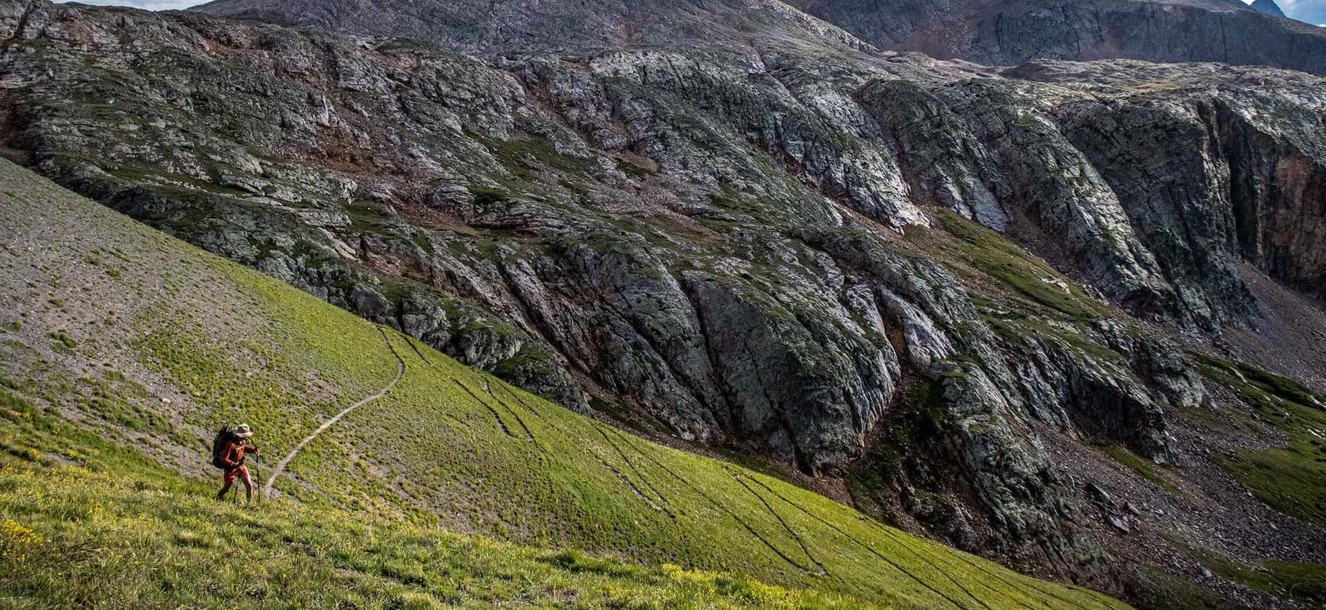
The trail climbs the basin ridge up and out of the forest, offering the first clear view of Naylor Lake down and to the right. Silver Dollar Lake is seated approximately one mile further up the trail, which rides the slope of the basin. Approaching the lake and then curving right, the trail crosses over the mouth of Silver Dollar Lake. Depending on water levels, this crossing can be up 10-15 feet wide. While the water is not deep, wise hikers look for dry, flat, small boulders to navigate across and avoid soggy socks! The trail ascends with moderate steepness up to Murray Lake, less than 1/2-mile away. After meandering about the top of the basin around Murray Lake, the return trail simply follows the route in reverse. As it descends, you will notice even more novel views on each lake, and benefit from the shade of the forest as it brings you back to the trailhead.
Tips & Resources for Hiking Silver Dollar and Murray Lakes Trail
- TIP: The parking situation at Silver Dollar Lake Trail often ebbs and flows since the trail does not require as much time as many others. If you get skunked on parking, consider returning in a couple hours when a wave of hikers has come and gone. Georgetown, CO, has a wonderful trail circumnavigating the local lake, as well as a Wildlife Viewing Station for sighting big horns sheep.
- Trail Map: Silver Dollar and Murray Lakes Hike
- Packing List: Always pack the 10 Essentials. Download our Hiking Guide to get the list and dayhiking packing checklist.
- Colorado Road Conditions: Colorado Road Conditions
- After the Hike: Grab some post-hike nourishment at Cabin Creek Brewing.
Weather
Map & Driving Directions
Click for Driving Directions