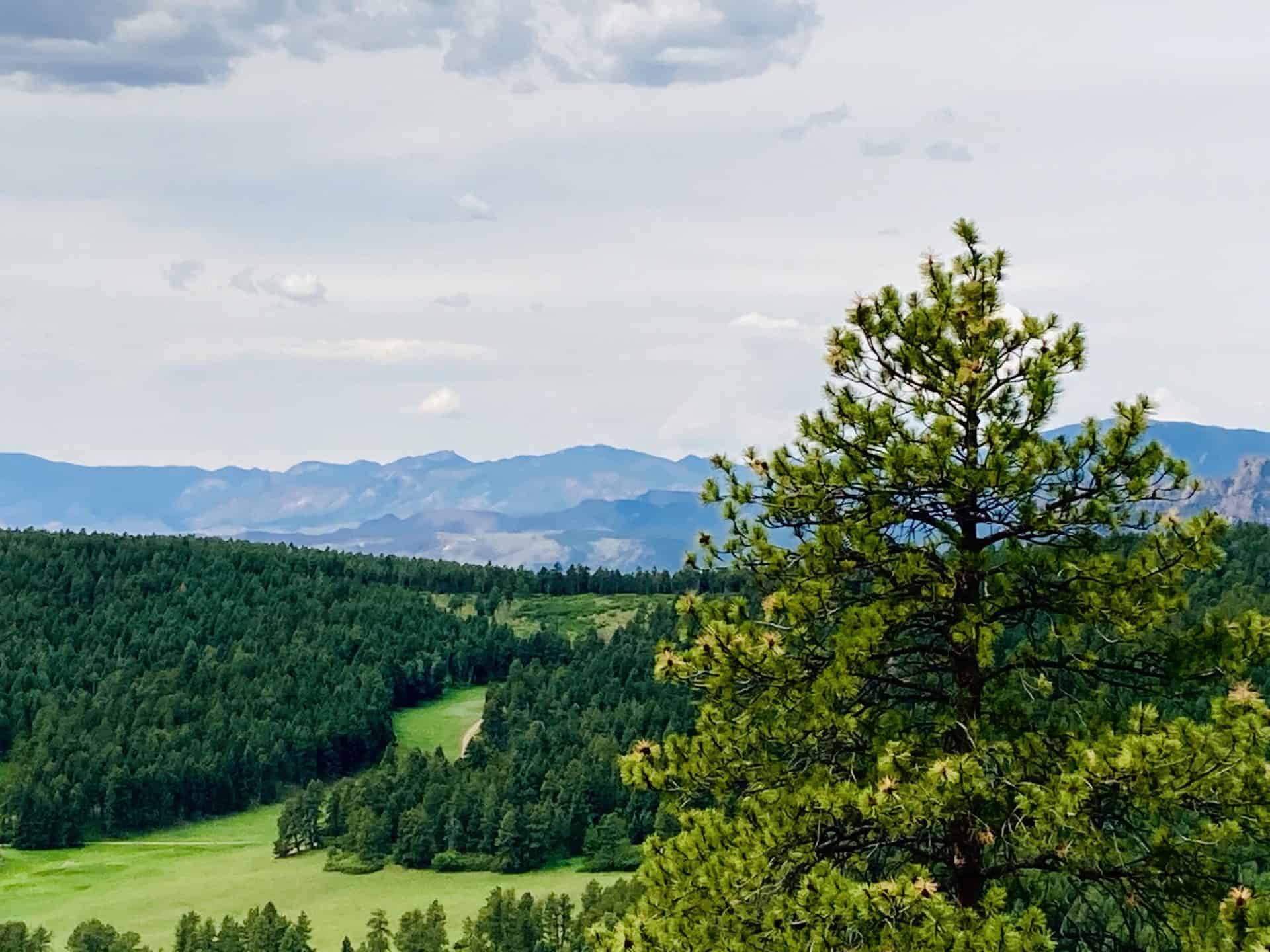
The Indian Creek Trail is tucked away outside of Sedalia, CO, just under an hour’s drive from Denver, you find a trailhead leading to a vast internal system of trails that links up to the Colorado Trail, Roxborough State Park, and Nelson Ranch Open Space. The number of configurations you can devise awaits your creativity…and endurance! The Indian Creek Campground opens the door to trails meandering up and through the Pike National Forest with frequent vistas out into the valleys west and north. Explore the full Indian Creek Loop hike profile below for trail map, driving directions, and more tips and details to help you enjoy this adventure in the San Isabel National Forest.
Trail Snapshot: INDIAN CREEK LOOP
| Hike Distance | 7.5 miles Round Trip |
|---|---|
| Difficulty | Moderate |
| Duration | Approx 3-4hr |
| Trail Type | Loop |
| Starting Elevation | 7300′ |
| Elevation Gain | Approx +1300′ |
| Seasons | All Year |
| Dogs | Allowed On Leash |
| Hike Trail Map | Click for Trail Map of Indian Creek Loop |
| Denver Drive Time | 55 min |
| Driving Directions to Indian Creek Loop | Click for Google Map |
| Town Nearest Hike | Sedalia, Colorado |
| Beauty | Pine Forest, Streams, Colorado Trail |
| Activities | Hiking, Photography, Wildflowers |
| Fee | Entrance Fee or State Parks Pass Required for Roxborough State Park segment |
Parking & Trailhead Information for Indian Creek
The easiest waypoint for GPS is the Indian Creek Campground, which sits just west of the Rampart Range Riding Area on Highway 67. Once you pass the Rampart Range entrance the road curves and winds down a hill; at the bottom the parking lot appears off to the right with a lone bathroom. Park here; do not go up the road to the actual campground. The trailhead begins about 15 paces beyond the bathroom, up the hill. Look for the sign for Trail #800.
The Hike: Indian Creek Loop
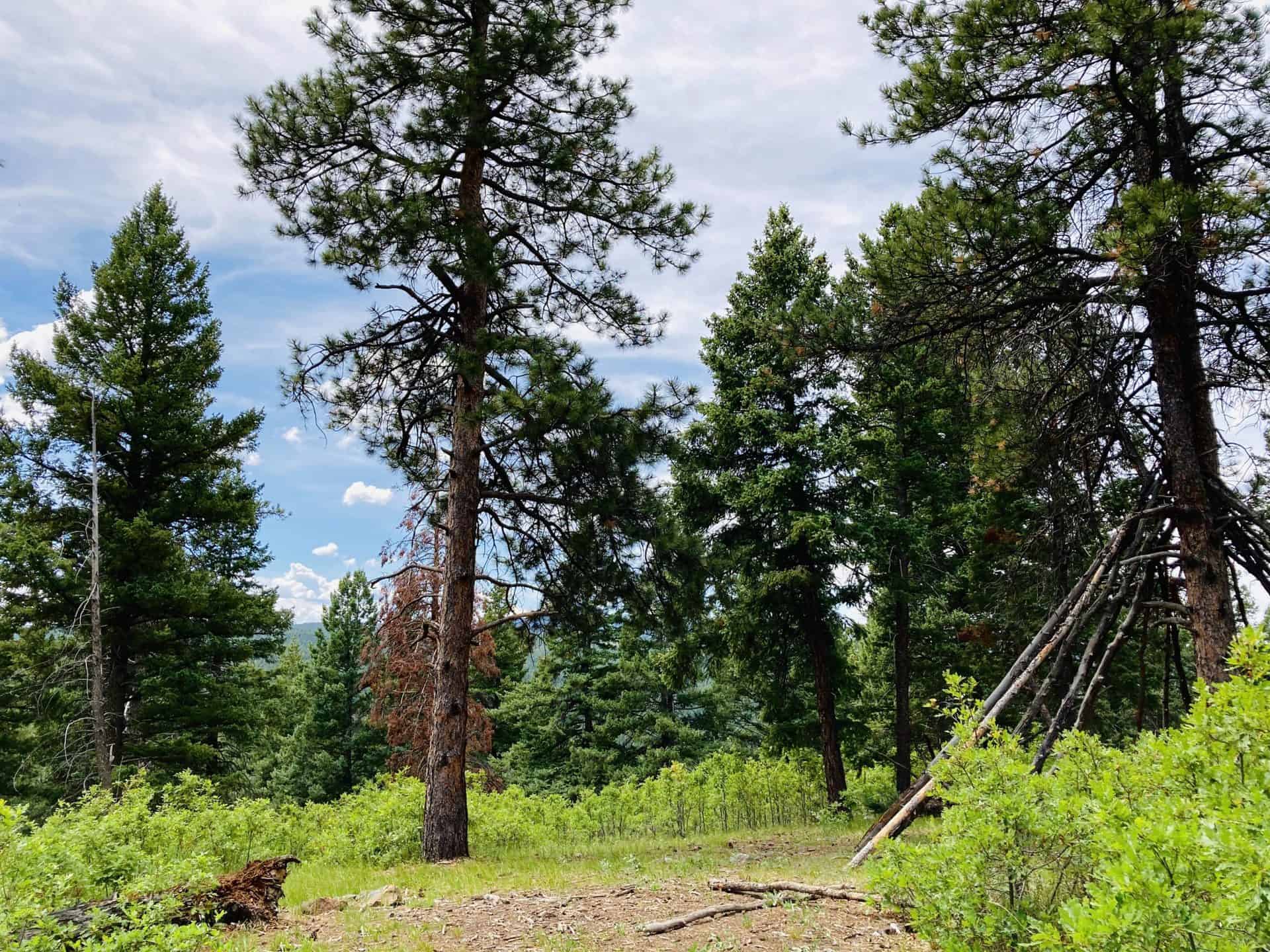
The trail begins winding through aspen, oak, and evergreen. You’ll immediately notice the clean, earthy air rising up from the forest floor. The initial stretch of the trail provides ample shade, and at approximately 0.5 mile, the trail opens up to its first vista. As the trail turns sharply right, the unofficial trail bends left up a small hill to a clearing with views down into the valley and a massive lean-to teepee tree.
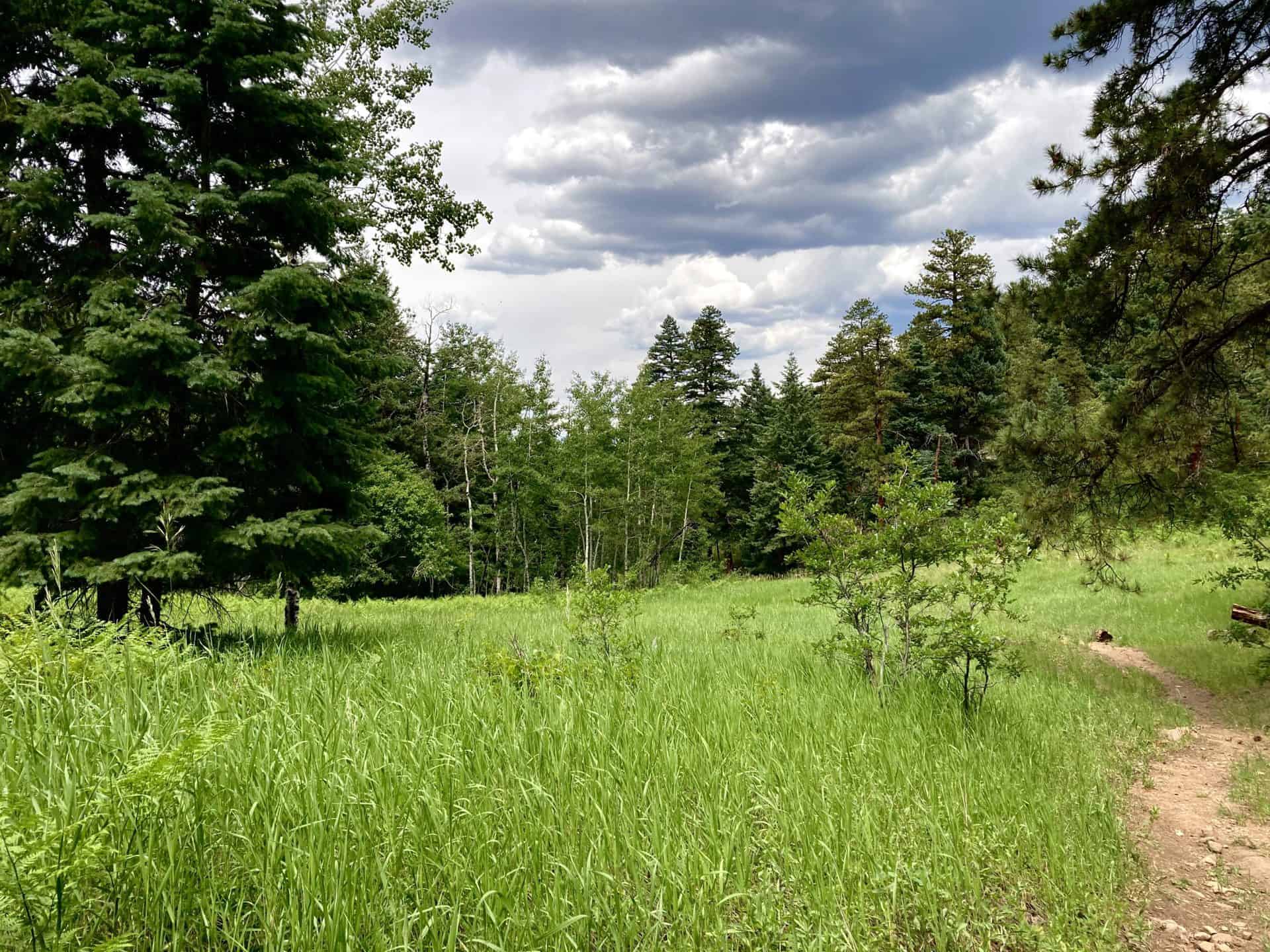
Continuing up, soon another vista opens up off to the left with sight line down the valley and onto the next ridge line, and then at approximately 1.5 mile the trail reaches a junction with the fire road (FR) and Ringtail Trail. (If you follow Ringtail toward Thomas Hill, the trails opens up to th north. On a clear day you can see the skyscrapers of downtown Denver!) Staying straight to continue on the FR, the trail descends to approximately 2.3 mile to reach the next trail junction. Here you have options: take a sharp left to join Steven’s Gulch Trail (the present track), veer right toward Roxborough State Park, or stay straight for a longer loop that will wrap back around to the present track. As the trail descends to the left, it reveals a snug little meadow swimming in prairie grasses–perfect playground for the deer often passing through.
Now, the hike becomes pure descent to approximately 4.25 mile and the junction with the Colorado Trail. (This is where the longer loop mentioned above rejoins the present track.) You know you’re close when you spy an old broken down cabin nestled along the shore of the stream. Here, the loop route goes left onto the Colorado Trail.
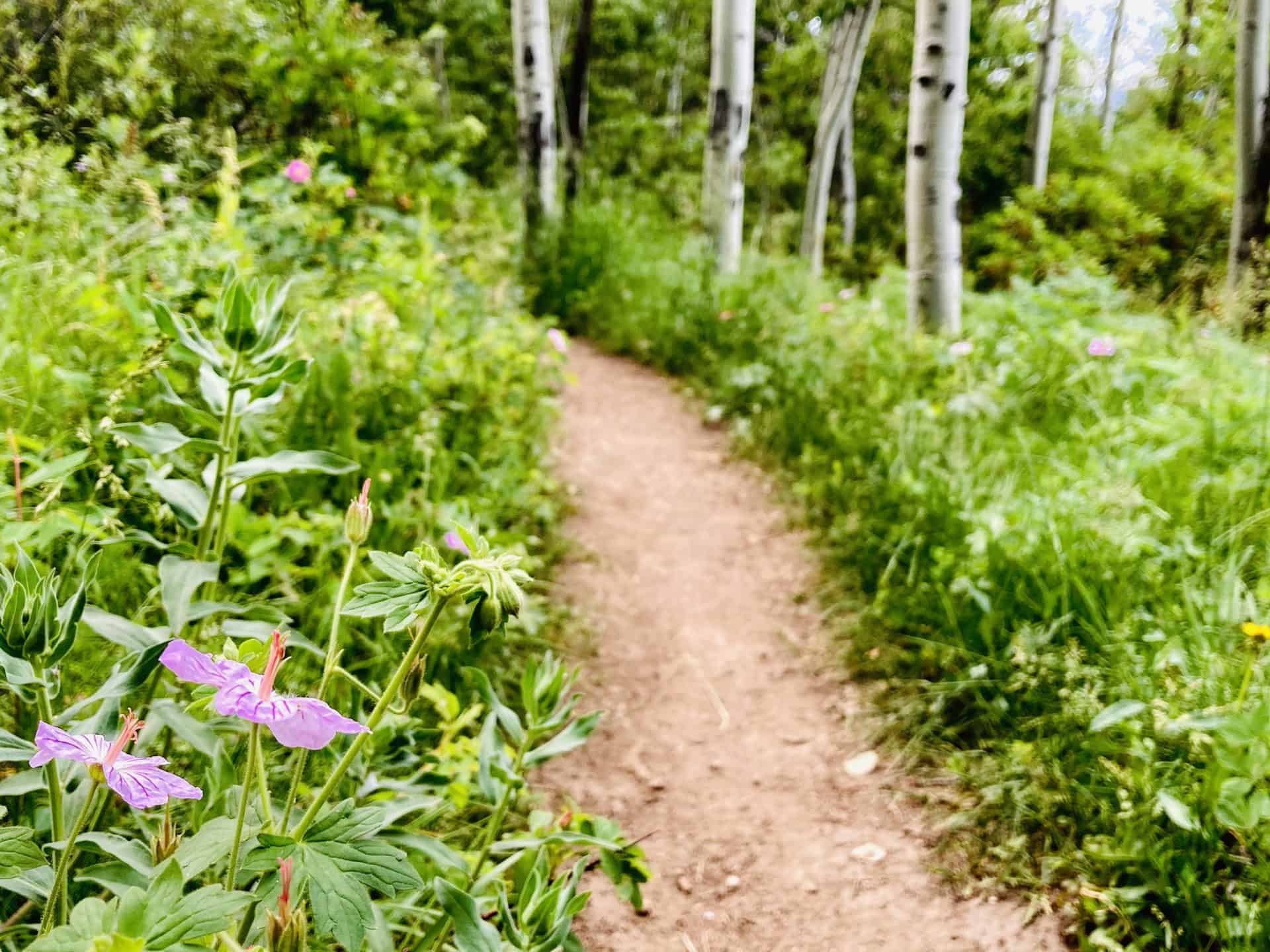
All along the descent and this return ascent, thick foliage, flowers, ferns, and the occasional patch or puddle of mud keep you company. It’s fascinating terrain that also hosts horse riders from time to time, so watch your step! At 5.0 mile the Colorado Trail continues straight but an alternate Indian Creek Trail pulls sharply right. Staying straight on the Colorado Trail the trail begins another descent.
While this loop hike follows a stream almost all the way, you get the pleasure of a stream crossing at approximately 6.25 mile when it meets up with Bear Creek. From here the trail bends its way up and out of the shallow canyon, past the equestrian stables and campground, and back to the parking lot.
Tips & Resources for Hiking Indian Creek Loop
- TIP: Wildlife is active in this area. Be sure to let someone know your hiking itinerary, or take a hiking partner with you.
- TIP: Familiarize yourself with the various trail junctions that intersect in this area. You can trek to Roxborough, connect to the Colorado Trail, or end up in an open space…on accident if you’re not aware! Also, keep an eye on the weather as it can change suddenly along the Front Range.
- Trail Map: Indian Creek Loop
- Packing List: Always pack the 10 Essentials. Download our Hiking Guide to get the list and dayhiking packing checklist.
- Colorado Road Conditions: Colorado Road Conditions
- After the Hike: If you need breakfast, hit up the local fave, O’Brien’s Cafe, or catch a pizza-pie at PieZano’s
Weather
Map & Driving Directions
Click for Driving Directions


