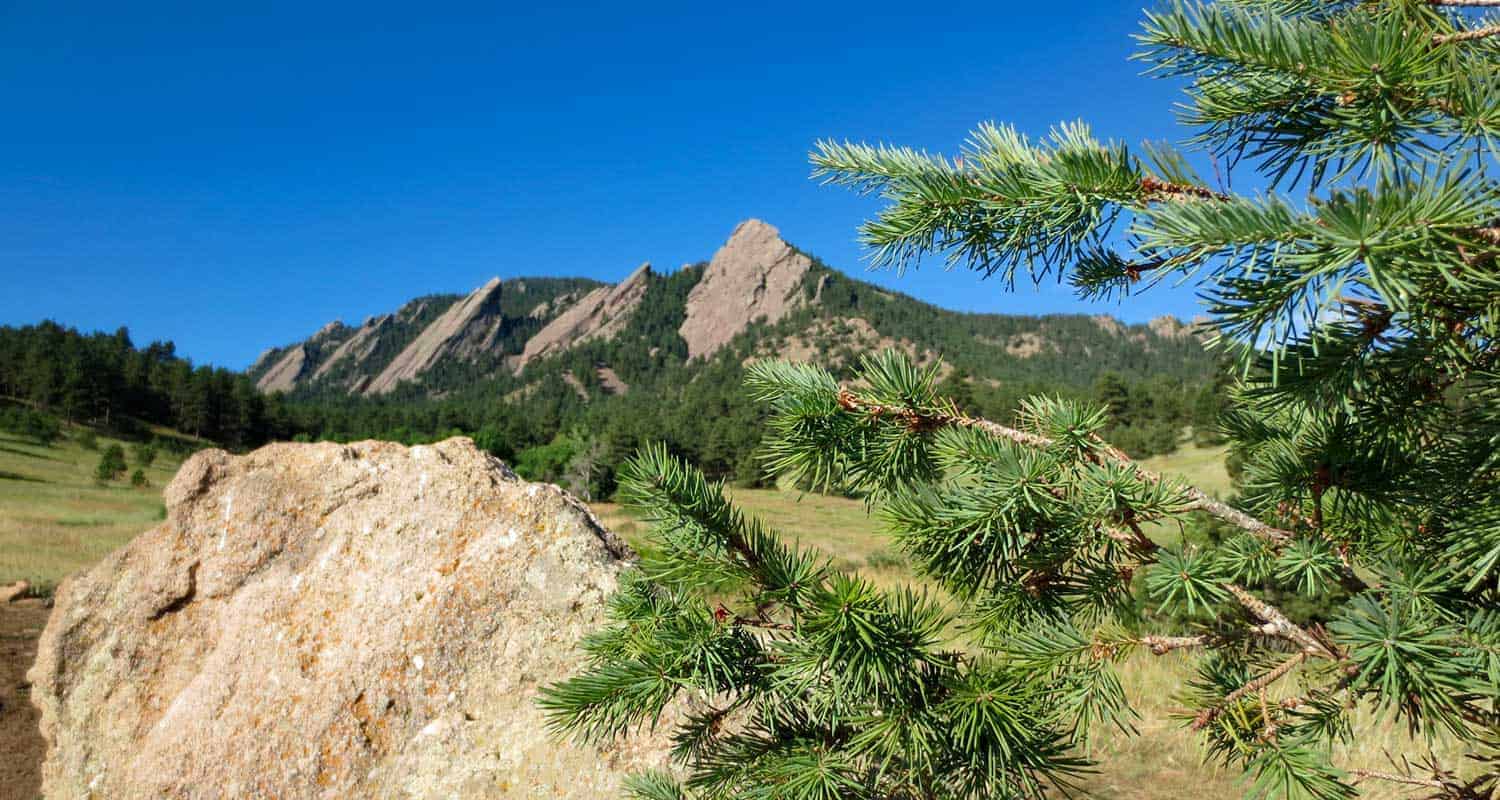
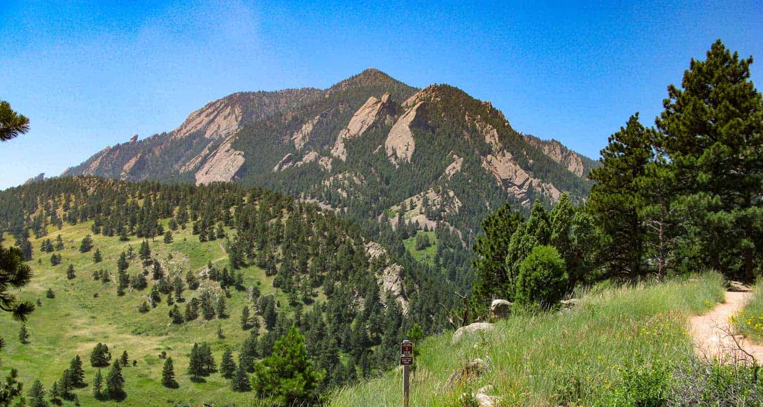
Chautauqua Park in Boulder Colorado is the Trailhead for 40 miles of hiking trails, including hikes into the Flatirons, paths through canyons, and trails to summits with views to the Rocky Mountains in the west. Explore all of these iconic hikes located right in the city of Boulder.
Chautauqua Park Trails Snapshot
| Hike Distance | 40 Miles of Trails |
|---|---|
| Difficulty | Easy to Difficult |
| Trail Type | Loops and Out and Back Trails |
| Elevation at Trailhead | 5,710′ |
| Seasons | All Year |
| Dogs | Allowed on Leash and with Sight and Sound Tag |
| Hike Trail Map | Click for Map of Chautauqua Park Trails |
| Denver Drive Time | 45 min |
| Directions | Click for Google Map |
| Town Nearest Hike | Boulder, Colorado |
| Beauty | Views of Continental Divide, Expansive Meadows, Wildflowers, Flatirons Rock Formations, Cliffs, Summit Hikes, |
| Activities | Hiking, Rock Climbing, Picnic Areas |
| Video | Click For Video of Chautauqua Park Panorama |
| For Closure Updates: | Boulder Open Space Closures |
Chautauqua Park Trailhead and Parking
The trailhead at Chautauqua park may is right smack dab in the middle of the City of Boulder. It’s rare to find so many trail options this close to an urban center. However, because it is within the city, the 58 parking spaces in the park fill up quickly. When the lot is full, hikers can park along Baseline Road and side streets, just be sure to respect the neighbors by parking at least 5 feet from driveways. There are bike racks at the trailhead, so you can bike in from other lots in town, or take the Park-to-Park Shuttle that operates on the weekends and on holidays from the Saturday around Memorial Day to Labor Day Weekend. Here’s a map of the free parking lots and shuttle stop locations.
You can pick up a map, fill up your water bottle, and get trail advice from locals at the Ranger Cottage, which is located at the trailhead. See the Ranger Cottage site for current hours and closure information. There are a few acres of green park and shaded spots around the cottage that make for a great picnic spot.
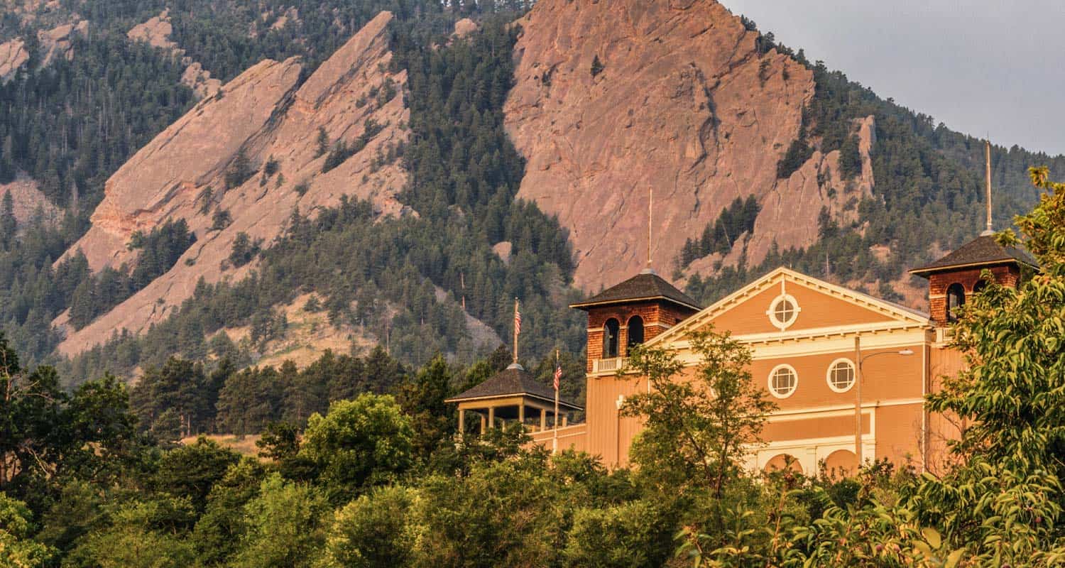
To the south, 26 acres are devoted to the Colorado Chautauqua National Historic Landmark. The Chautuauqau Dining Hall is a great place to grab breakfast or lunch after a hike. The Chautauaqua Auditorium is the centerpiece of the landmark and hosts some great concerts and special events year-round. It was built in 1890’s as a summer retreat for the Chautauqua educational movement.
The lodging at Chautauqua makes for a great getaway. Cottages, rooms, and an entire lodge can be booked through the Chautauqua lodging website. Its hard to beat accomdations like this with the number of hikes right out your back door.
Trail Map and Hiking Info
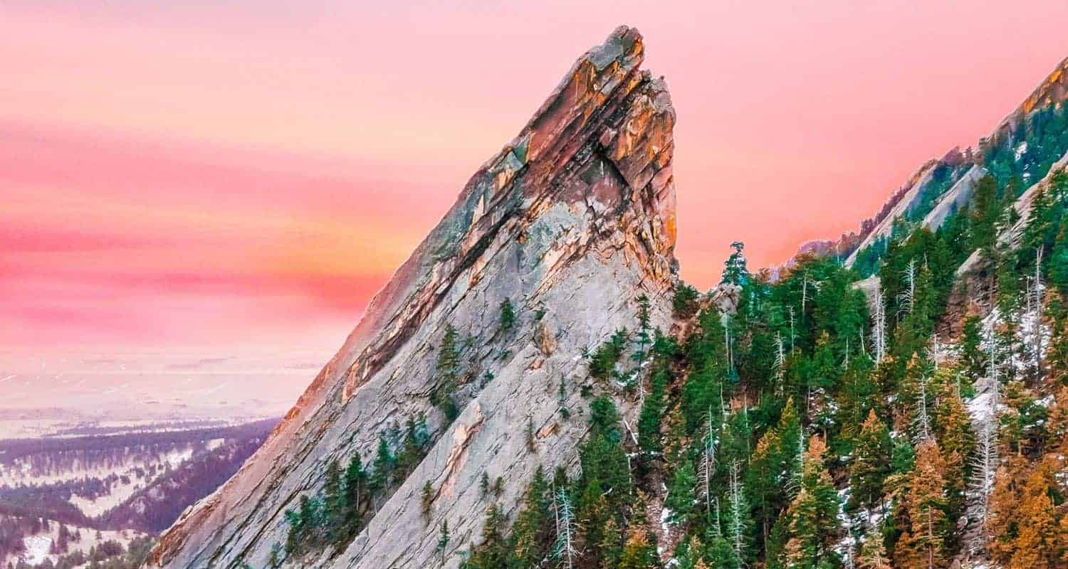
The Flatirons, those diagonal spires of orange and pink rock that make Boulder so beautiful, are the centerpiece of Chautauqua Park, and there are trails that lead up into their canyons, along the mesas and meadows, and to summit views of the Rocky Mountains in the west. The trails wind and criss-cross one another making for quite a network of paths. While you’ll see a lot of fellow hikers on these trails and most of the miles are close ot town, there are further reaches to the west where it could be easy to get disoriented. So, pick up a map at the trail, or download this PDF map of the Chautauqua hiking trails as a refrence.
Dayhikes Near Denver has created several detailed trail profiles of many of the hikes in and bordering Chautauqua Park. Below you’ll find hikes that range from easy strolls to more strenuous trails to summits. Our favorite remains the First and Second Flatirons Hike. A few of these trails begin from other nearby trailheads, but they can also be hiked by starting at Chautauqua Park. Just review the map links on the different hikes and study the trail system to see how they connect.
Hikes in Chautauqua Park
| Chautauqua Loop Trail | 3.6 Miles; Easy |
|---|---|
| Bear Canyon Hike | 3.5 Miles from NCAR Lot; Easy |
| Enchanted Mesa Trail | 2 Miles; Easy |
| First and Second Flatirons | 2.6 Miles; Moderate |
| Gregory Canyon to Realization Point | 2.4 to 5.7 Miles; Moderate |
| Green Mountain Summit Hike | 5.5 Miles; Difficult |
| Mallory Cave Hike | 2.8 Miles; Moderate |
| Mesa Trail | 4.1 Mile Loop or 8.4 Miles; Easy to Moderate |
| Royal Arch Trail | 3.5 Miles; Moderate to Difficult |

Bear Canyon Loop Hike at NCAR
Chautauqua Loop Trail in Boulder
Enchanted Mesa Trail Near Boulder, Colorado
First and Second Flatirons Hike in Boulder
Gregory Canyon Hike to Realization Point
Hiking Green Mountain Near Boulder
Mallory Cave Hike in Boulder
Mesa Trail to Bear Canyon Creek
Royal Arch Trail
Dayhikes Near Denver is grateful to Owen Allen and Hawehorne for their photos of Chautauqua Park.