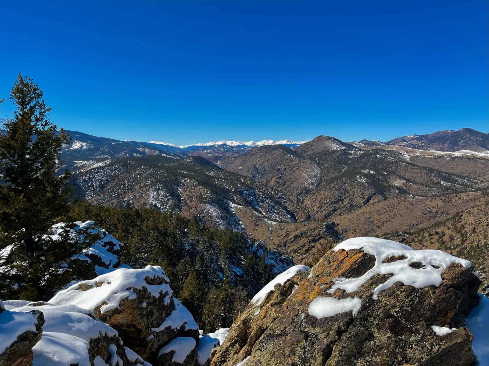
The Bear Canyon Loop Hike near Boulder, Colorado is a beautiful trail that spans wide open spaces and meadows near National Center for Atmospheric Research. The Bear Canyon Loop is a relatively easy 3.3-mile loop that features some of the best views of the Flatirons in Boulder. Explore the full NCAR Bear Canyon Loop hike profile below for trail map, driving directions, and more tips and details to help you enjoy this adventure near Boulder.
Trail Snapshot: Bear Canyon Loop Trail in Boulder
| Hike Distance | Approx 3.5 Miles |
|---|---|
| Difficulty | Easy |
| Duration | Approx. 2 hrs |
| Trail Type | Loop |
| Starting Elevation | 6080′ |
| Elevation Gain | Approx +400+′ |
| Seasons | Year Round with Winter Closures |
| For Closure Updates: | Boulder Open Space Closures |
| Dogs | Allowed On Leash |
| Hike Trail Map: | Click for a Map of Bear Canyon Loop |
| Denver Drive Time | 40 Min |
| Driving Directions to NCAR Trailhead | Click for Google Map |
| Town Nearest Hike | Boulder, Colorado |
| Beauty | Canyon, Creek, Wildflowers, Meadows, Wildlife: Mule deer |
| Activities | Hiking, Photography, Birding, Running |
Parking & Trailhead: Bear Canyon Loop Trail
The National Center for Atmospheric Research (NCAR) Trailhead is located about 40 minutes North of Denver. From Denver, follow U.S. Route 36 to Boulder. Take the exit for Table Mesa Drive and follow it West. It will wind through a neighborhood to the end as it winds through the neighborhood and past Bear Creek Elementary School. The road will turn into the Drive for NCAR which winds up and around to a large parking area at the lab.
The Hike: NCAR Bear Canyon Loop Trail
From the NCAR Parking area, hikers can pick up the NCAR trail just West of the main entrance to the building. The trail heads West, over a small ridge, past a water tank, then to a fork in the trail. Both the left and the right fork are considered the NCAR trail and both will lead to the Table Mesa Trail–but the left fork is shorter. At approximately 0.7-mile into the hike, the NCAR Trail will intersect with the Table Mesa Trail. Straight through takes hikers up on a 0.8-mile hike up to Mallory Cave, but for this loop hike, the correct way is to go left/South onto the Table Mesa trail. This first stretch provides some incredible views of the magnificent Flatirons Formations of Boulder. This trail segment heading south goes in and out of a forest grove, then the trail comes to its second important intersection.
At the Bear Canyon Trail intersection, take a left onto the Bear Canyon Trail which follows Bear Creek as it descends East. At about 1.5 miles into the hike, you’ll encounter another fork. You can cut off about 1/4 of a mile of the trail by taking the left-hand segment. But the right-hand trail provides more pleasant scenery along the creek. The trail will near a neighborhood then bend to the North. This straight 0.7-mile stretch follows along the Eastern boundary of NCAR. Eventually, it meets up with the NCAR trail, which will lead back on a 1/2 mile stretch to the parking area.
Tips & Resources for Hiking the NCAR Bear Canyon Loop
- Wildlife Aware: Like many of the trails in the Boulder area, keep alert because mountain lions and black bears frequent the area. Know what to do if you encounter a Mountain Lion or a Black Bear.
- Trail Map: NCAR Bear Canyon Loop Trail
- Packing List: Always pack the 10 Essentials. Download our Hiking Guide to get the list and dayhiking packing checklist.
- Explore More Flatirons Hikes in Boulder: First Flatiron Hike, Gregory Canyon Hike, Green Mountain, Enchanted Mesa Hike, and Royal Arch Trail.
- Colorado Road Conditions: Colorado Road Conditions
- Photo: We would like to express our gratitude to Dave Dugdale for sharing such an amazing photograph of this NCAR Bear Canyon Loop Trail with a view of the Flatirons.
- After the Hike: The Parkway Cafe
Weather
Map & Driving Directions
Click for Driving Directions

Aaron Johnson has been hiking in Colorado for over 20 years. The owner and editor of Dayhikes Near Denver, Aaron writes every trail profile as a local guide who has hiked hundreds of miles of trails along the Front Range and deep in the Rocky Mountains of Colorado.


