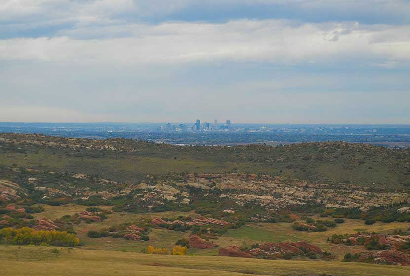
This loop hike in Deer Creek Canyon offers a quick getaway from the city of Denver and its surrounding suburbs. Because Deer Creek Canyon Park is tucked away in the entrance of the canyon, you can completely immerse yourself in the foothills and the valley that lies between Littleton and the park.
Trail Snapshot: Deer Creek Canyon Loop Trail
| Hike Distance | 2.7 miles RT |
|---|---|
| Difficulty | Easy |
| Duration | Approx 2 hr |
| Trail Type | Loop |
| Elevation Gain | +500′ |
| Seasons | All Year |
| Dogs | Allowed on Leash |
| Hike Trail Map | Click for a Map of Deer Creek Canyon Park |
| Denver Drive Time | 35 min |
| Directions | Click for Google Map |
| Town Nearest Hike | Littleton, Colorado |
| Beauty | Fall colors, quick escape from Denver, beautiful valley, rock formations |
| Activities | Hiking, great picnic facilities, mountain biking, horseback riding |
Deer Creek Canyon Loop Trail Profile
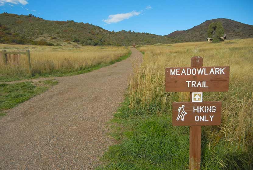
This 2.7 mile loop hike in Deer Creek Canyon is made by combining two trails. The Route: Start on the Meadowlark Trail (1.6 mile trail) until you come to the Plymouth Creek Trail junction. Go left onto the Plymouth Creek Trail for 1.1 miles back to the trailhead.
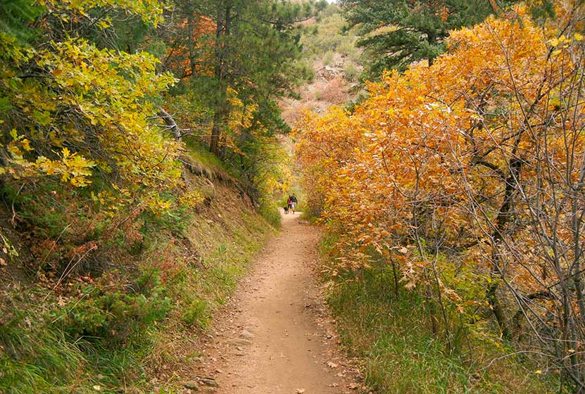
This hike is relatively easy, characterized by mostly gentle slopes and a very few rock scrambles. It’s perfect for kids, and older outdoor enthusiasts. Pathfinder, Joe Q., scouted this hike for Dayhikes Near Denver and went about a week too late to catch the peak of the fall colors; however, as he reported, “Even when I went the array of reds, oranges, and yellows were a great exemplification of Colorado’s fall beauty.”
The Meadowlark Trail is a hiker only trail, however, the Plymouth Creek trail does allow mountain bikes. As you hike, you’ll encounter some faint side-trails where people choose to depart from the true trail to see a new vista view or viewpoint. These are pretty clearly not trails and will end within 100 feet. If you are ever questioning whether or not you’re on the true trail, you probably aren’t. The true trail is very well worn, well maintained, and is pretty obvious.
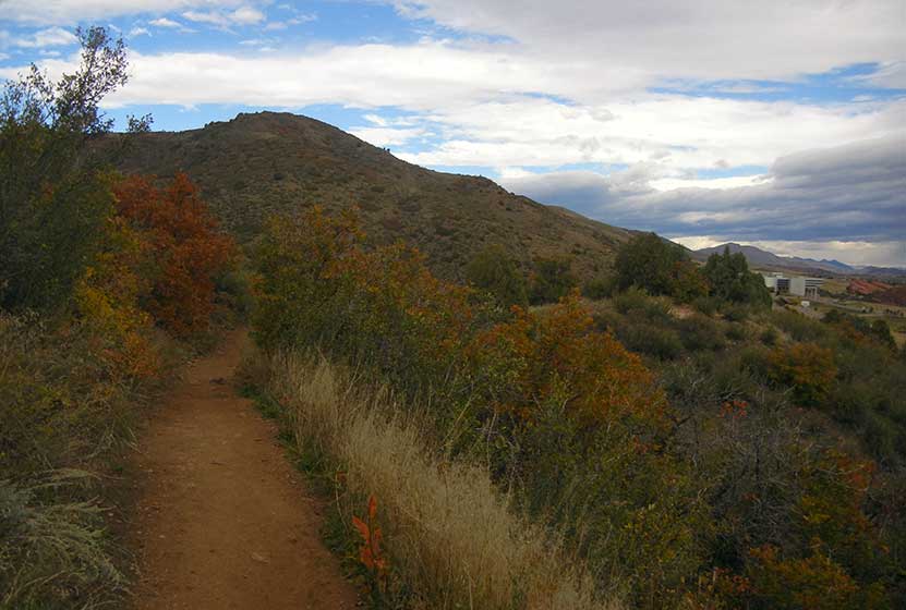
The Plymouth Creek Trail follows the creek for a while, and gives lots of views to small cliff walls on either side. In the lower portions of Plymouth Creek the trail runs adjacent to private residences, but the trail remains clearly marked.
Tips & Resources for Hiking Deer Creek Canyon Loop:
- Parking at Deer Creek Canyon: There is ample parking, but it’s possible that the lot could fill up on holidays and weekends.
- Getting There: GPS may give you incorrect directions to the trailhead. If you are traveling westbound on Deer Creek Canyon road, turn left on Grizzly; you’ll find the Deer Creek Canyon Park Trailhead on your right.
- Rattlesnakes: There is a higher than usual presence of rattlesnakes in the lower regions of Deer Creek Canyon Park. Rattlesnakes are a normal inhabitant of the foothills and plains along the front range, but some areas–like this on–may have higher concentrations. They tend to sun themselves on rock and the warm gravel of trails–so keep your eyes peeled as you hike.
- After the Hike: Spur Coffee in Littleton
- Road Conditions: Colorado Road Conditions
- Thanks goes out to Joe Q. who hiked this loop, and took the trail notes and photos to produce this trail profile.
Weather
Map & Driving Directions
Click for Driving Directions


