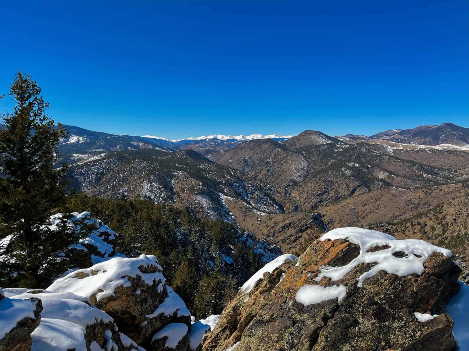
Rock Park in Castle Rock, Colorado is the trailhead for a 1.4 mile loop within a loop hike that climbs to the base of the town’s famous Castle Rock. Click here for the Castle Rock trail map. Explore Dayhikes Near Denver for more hikes in Colorado with impressive rock formations.
Trail Snapshot: Castle Rock Trail
| Hike Distance | 1.4 Miles+Spurs |
|---|---|
| Difficulty | Moderate (can be difficult over rocks) |
| Duration | Approx. 1 hr+ |
| Trail Type | Loop |
| Starting Elevation | 6220′ |
| Elevation Gain | Approx. +370′ |
| Seasons | All |
| Dogs | Allowed On Leash |
| Hike Trail Map | Click for a Map of Castle Rock Trail |
| Denver Drive Time | 35 min |
| Driving Directions to Castle Rock Trail | Click for Google Map |
| Town Nearest Hike | Castle Rock, Colorado |
| Beauty | Historical monument, rock formations, Front Range views, wildlife: rock squirrels and cliff swallows |
| Activities | Hiking trails, picnic areas, no bikes or horses are allowed |
Tips & Resources for Hiking Castle Rock Trail :
- TIP: There is a panoramic view of Castle Rock at the top. Pike’s Peak can be seen to the southwest, and Long’s Peak to the northwest.
- TIP: A wide, flat path encircles the rock with a picnic area. Tables are available.
- Trail Map for Castle Rock Trail: Trail Map Link
- Colorado Road Conditions: Colorado Road Conditions
- After the Hike: Crowfoot Valley Coffee
Weather
Map & Driving Directions
Click for Driving Directions
Aaron Johnson has been hiking in Colorado for over 20 years. The owner and editor of Dayhikes Near Denver, Aaron writes every trail profile as a local guide who has hiked hundreds of miles of trails along the Front Range and deep in the Rocky Mountains of Colorado.


