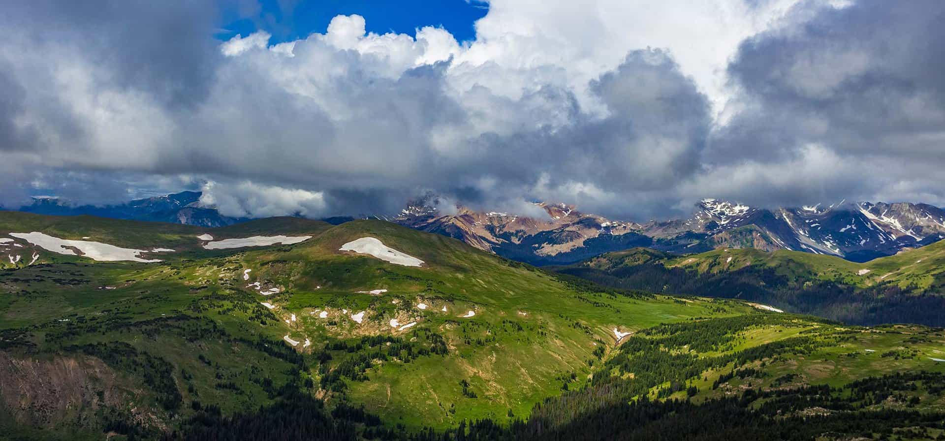
The hike to Lawn Lake in Rocky Mountain National Park follows the course of the Roaring River for 6.2 miles to a stunning high mountain lake with great fishing. This demanding hike takes adventurers into the heart of the Mummy Range, a lesser visited region of RMNP. Explore the full Lawn Lake hike profile below for trail map, driving directions, and more tips and details to help you enjoy this adventure in Rocky Mountain National Park.
Note: Rocky Mountain National Park now requires timed entry permits from May 27th through October 10th. See the RMNP permits page for more information.
Trail Snapshot: Lawn Lake in Rocky Mountain National Park
| Hike Distance | 12.4 miles Round Trip |
|---|---|
| Difficulty | Difficult |
| Duration | Approx 7-8 hr Round Trip |
| Trail Type | Out and Back |
| Starting Elevation | 8540′ |
| Elevation Gain | Approx. +2249′ |
| Seasons | Spring through Fall |
| Dogs | Prohibited in RMNP |
| Hike Trail Map | Click for a Map of Lawn Lake RMNP |
| Recommended Trail Map | We recommend the National Geographic Trails Illustrated Map – topographic with detailed information. |
| Denver Drive Time | 1 hr 40 min |
| Driving Directions to Lawn Lake Trailhead | Click for Google Map |
| Town Nearest Hike | Estes Park, Colorado |
| Beauty | Lake, waterfall, mountain views, aspen, ponderosa, meadows, river, wildlife: elk, Abert’s squirrel; wildflowers |
| Activities | Picnicking, hiking trails, fishing, snowshoeing, horseback riding, backcountry camping (with a permit), photography |
| Fee | Park Pass Required |
Parking & Trailhead Information for Lawn Lake
The hike to Lawn Lake begins at the Lawn Lake Trailhead. Several other destinations in this lesser visited section of RMNP known as the Mummy Range, can be accessed from the Lawn Lake Trailhead, including Ypsilon Lake, Ypsilon Falls, Chipmunk Lake, and the Spectacle Lakes. The parking area is located on Old Fall River Road, just north of the intersection of Old Fall River Road and Highway 34.
The Hike: Lawn Lake Trail in RMNP
The hike begins on a 1.4 mile stretch of the Lawn Lake trail before the intersection with the Ypsilon Lake Trail. This initial segment climbs a series of switchbacks. While it may be tempting to cut the switchbacks, they are there for a couple important purposes: to control erosion and to preserve your energy. Because this area of the park has been severely damaged by floods, it’s all the more important to stay the trail.
At approximately 1.4 miles, the Lawn Lake Trail meets with the Ypsilon Lake Trail. See the full trail profiles for Ypsilon Lake and Ypsilon Falls for exploring these destinations. At the junction, the way to the Lake passes by this junction, continuing straight/North on the Lawn Lake Trail
Here, the trail comes quite close to the gorge that overlooks Roariing River. There are areas of unstable terrain and hikers should take caution and stay away from the precarious edges of the gorge.
The trail begins a demanding climb up a series of switchbacks then returns to follow river. Three backcountry camping sites are located in this stretch, just after the confluence of Roaring River and Ypsilon Creek: Ypsilon Creek, Cutbank, and Golden Banner. At 5.6 miles, the Lawn Lake Trail meets up with the Black Canyon Trail. Here, the way to the Lake is left/North, and should be clearly marked by a sign at the junction. The Lake is about 1/2 a mile further up the trail.
There is another backcountry camping site at the Lake. This site and the others along the Lawn Lake trail can be reserved through the RMNP Backcountry Offices. Greenback Cutthroat trout are plenty in the Lake, so this makes for a great fly fishing destination in Rocky Mountain National Park. A fishing license is required and State and Park fishing regulations apply.
Tips & Resources for Hiking to Lawn Lake in RMNP
- Explore More: Crystal Lake is just about 1.5 mi further. You may opt to continue if you have energy to spare.
- Packing List: Always pack the 10 Essentials. Download our Hiking Guide to get list and dayhiking packing checklist.
- Get there early: Parking may be somewhat limited as with many hikes in RMNP area and can get full even early in the morning.
- Recommended Trail Map: We recommend the National Geographic Trails Illustrated Map which indicates the location of the Upper Chipmunk Backcountry Camping Site, and provides topo information.
- Colorado Road Conditions: Colorado Road Conditions
- Photo: We would like to express our gratitude to Chad Bowman for sharing such an amazing photograph of this hike to Lawn Lake in RMNP.
- After the Hike: Mountain Home Café
Weather
Map & Driving Directions
Click for Driving Directions
Aaron Johnson has been hiking in Colorado for over 20 years. The owner and editor of Dayhikes Near Denver, Aaron writes every trail profile as a local guide who has hiked hundreds of miles of trails along the Front Range and deep in the Rocky Mountains of Colorado.


