Agnes Vaille falls is viewed on this 1 mile, easy, loop hike just south of Buena Vista, Colorado. Take in snow-capped Mt. Princeton and the white Chalk Cliffs of the canyon on what makes for a great family hike in the Arkansas River valley of Colorado.
Trail Snapshot: Agnes Vaille Falls
| Hike Distance | Approx. 1 mile |
|---|---|
| Difficulty | Easy to Moderate |
| Duration | Approx 1 hour |
| Trail Type | Loop |
| Starting Elevation | 9000′ |
| Elevation Gain | Approx +500′ |
| Seasons | Year Round |
| Dogs | Allowed On Leash |
| Hike Trail Map | Click for a USFS Map of Cascade Creek Loop |
| Denver Drive Time | 2hr 40min |
| Driving Directions to Agnes Vaille Falls | Click for Google Map |
| Town Nearest Hike | Buena Vista, Colorado |
| Beauty | Waterfall, Creek, Chalk Cliffs, Mountain Goats |
| Activities | Hiking, photography, USFS interpretive signs |
Parking & Trailhead Information for Agnes Vaille Falls
From Denver, take HWY 285 South for 124 Miles to Nathrop, Colorado. Take Chalk Creek Drive/CO-162 West for 8.7 miles into Chalk Creek Canyon. On this 8.7 mile segment, you’ll Pass the Mt. Princeton Hot Springs Resort, then the Mt. Princeton USFS Campground. Just after the campground, the Cascade Creek Trailhead will be on the right, directly across from the Chalk Lake Campground. This whole segment of road, going up to St. Elmo has several camping options. Parking is limited at the Cascade Creek trailhead to about 12 vehicles. It’s easy to miss the trailhead, so be sure to slow down and keep an eye out after you pass the Mt. Princeton Campground. The trail starts at the “Agnes Vaille” sign.
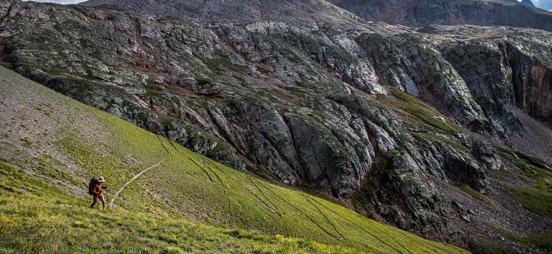
The Hike: Agnes Vaille Falls
The trail to Agnes Vaille Falls used to be a 1.2 mile out-and-back trip. Now, the upper segment is closed, so hikers are directed to take the approximately 1-mile loop hike on the Cascade Creek trail that still offers a view of the waterfall. Why did the upper trail to Agnes Vaille close? Sadly, in 2013, while on a family hike, a rockslide broke loose, tumbled down the canyon below the falls and killed 5 members of the hiking party. Plans are underway to rebuild the out-and-back trail, but no dates are posted for when it will be reopened. Follow the USFS regulations in this area as posted on the signage. The closed area of the trail may still be unstable and should not be hiked.
The Cascade Creek Loop creek still makes for a great family hike and offers views to the waterfall, and Mt. Princeton. The Chalk Cliffs surround the loop and look like something out of a storybook. In the fall, the aspen trees and cottonwoods glow with golden hues along the top bend of the loop. Mountain goats and bighorn sheep can be spotted along the rock above the trail.
Be sure to stop and read the USFS interpretive signs describing the history of the area, and the historical figures of of Agnes Vaille and Chief Antero for whom the waterfall and nearby 14er mountain, Mt. Antero, are named.
Tips & Resources for Hiking Agnes Vaille Falls
- Waterfall Peak: The best time of year to see Agnes Vaille falls will be in the early summer months of May and June, when the snowmelt is at it’s highest volume. Some years, if we have a heavy snowpack or late snows, flows can still be high into July.
- Unstable Rock: While the areas is repaired and trail rerouted, this entire area is known for its unstable rock. Just a good look at the chalk cliffs gives you an idea of the geologic variety and instability of the area. Large boulders can shift and rocks accidentally knocked loose can injure hikers below. So, stay the trail, be alert, and follow the USFS regulations.
- Hike, Camp, and Soak: Because there is camping nearby, more hiking, and amazing hot springs, make a weekend visit fo the area to take in the sights and relax. Drive up further on Cascade Creek road to take in Alpine Lake and the Colorado ghost town of St. Elmo.
- Trail Map: Agnes Vaille Falls
- Packing List: Always pack the 10 Essentials. Download our Hiking Guide to get the list and dayhiking packing checklist.
- Colorado Road Conditions: Colorado Road Conditions
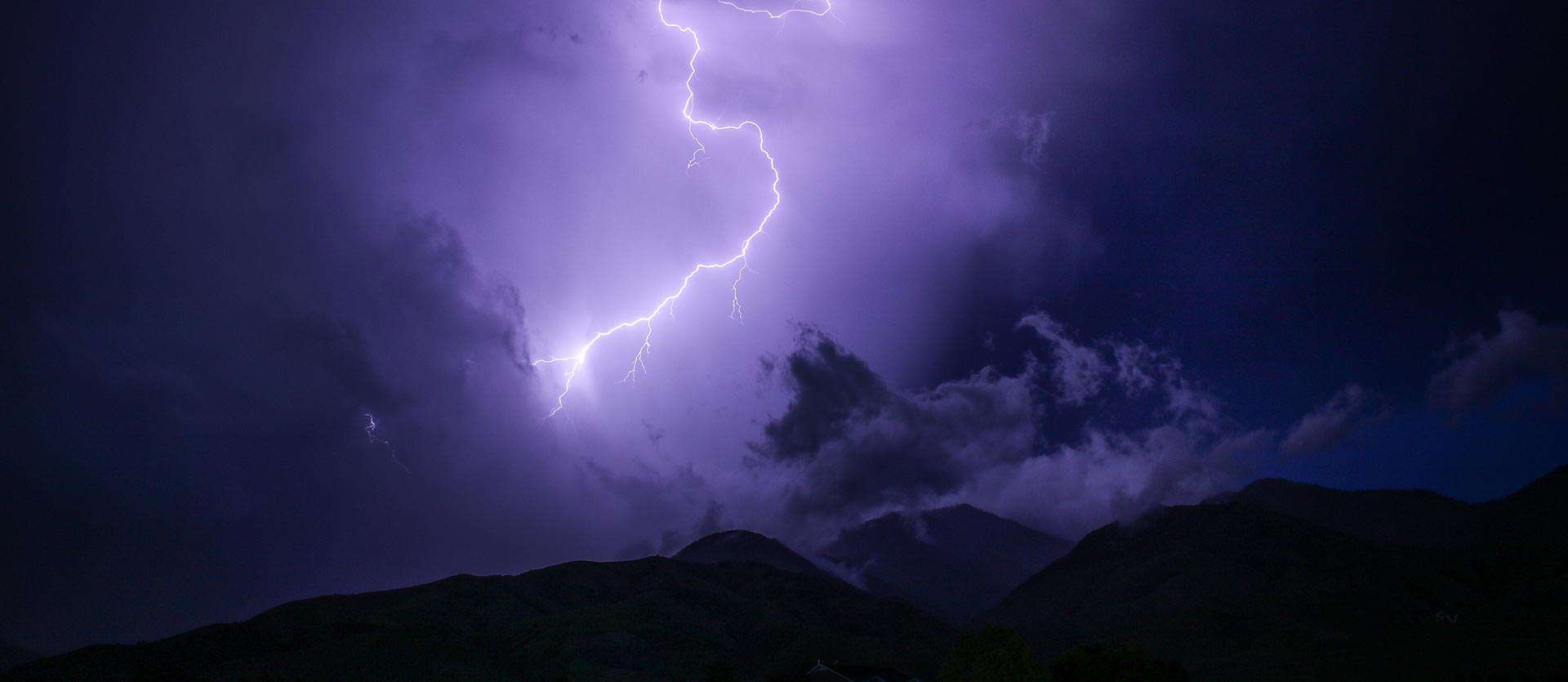
- Photo: We would like to express our gratitude to Brad Patterson for sharing such an amazing photograph of this hike at Agnes Vaille Falls.
- After the Hike: Soak at Mt. Princeton Hot Springs Resort

Weather
Map & Driving Directions
Click for Driving Directions