Cornet Falls in Telluride, Colorado, is an 80 foot waterfall and requires a short 1/4 mile hike to experience. The hike begins in town and affords views down into this beautiful Colorado mountain town. Explore the full Cornet Falls hike profile below for trail map, driving directions, and all the details you need to enjoy this hike in Telluride, CO.
Trail Snapshot: Cornet Falls Near Telluride, Colorado
| Hike Distance | 1/2 mile Round Trip |
|---|---|
| Difficulty | Easy |
| Duration | Approx 30 min |
| Trail Type | Out and Back |
| Starting Elevation | 8900′ |
| Elevation Gain | +220′ |
| Seasons | May-September |
| Dogs | Allowed On Leash |
| Hike Trail Map | Click for a Map of Telluride Area Trails |
| Denver Drive Time | 6.5 hrs |
| Driving Directions to Cornet Falls, Telluride | Click for Google Map |
| Town Nearest Hike | Telluride, Colorado |
| Beauty | Waterfalls, Views into Town of Telluride |
| Activities | Hiking |
Parking & Trailhead Information for Cornet Falls
The hike to Cornet Falls begins at the the Jud Weibe Trailhead in Telluride, Colorado. There is no designated parking area for this trailhead, so hikers will need to find acceptable parking along the streets or at public parking in town.
Tips & Resources for Hiking Cornet Falls Colorado
The hike from the Jud Weibe Trailhead to Cornet Falls is only a 1/4 mile. The trail makes its way through a lot of loose and slippery rock before it opens out to a backdrop of vermillion cliffs with 80 foot Cornet Falls jetting over the side. Stay to the right side of the creek for the proper trail leading to the waterfall.
- Wear Good Footwear: Because of the loose rock and slippery surfaces, be sure to wear a durable pair of shoes or boots that will give you good traction for this hike. Need a new pair of boots? Then be sure to check out our boot review of 3 recommended hiking boots.
- Explore More: For a longer adventure, hikers can stay on the Jud Wiebe trail and complete the 3 mile loop that features expansive views into the town of Telluride and ovf Bridal Veil Falls in the distance.
- Trail Map for Telluride Area: Trail Map Link
- Packing List: Always pack the 10 Essentials. Download our Hiking Guide to get list and dayhiking packing checklist.
- Colorado Road Conditions: Colorado Road Conditions
- After the Hike: Between the Covers Bookstore & Espresso Bar
- Photo: We would like to express our gratitude to Dan Wilnai for sharing such an amazing photograph of this hike to Cornet Falls.
Weather
Map & Driving Directions
Click for Driving Directions
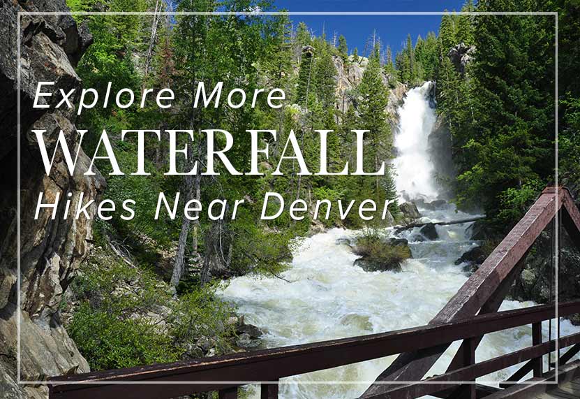
Looking for more waterfalls near Denver? Explore our more than 50 Colorado Waterfall Hikes, our favorite Waterfall Hikes in Rocky Mountain National Park, or 7 Waterfalls within One Hour of Denver.