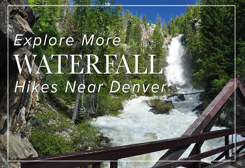
Rifle Falls is a 70 foot, triple waterfall in Rifle Falls State Park. It’s just .1 mile hike to the base of the falls along a paved, handicap accessible trail. The caves hidden along the waterfall beckon those looking for more adventure. Explore the full Rifle Falls hike profile below for trail map, driving directions, and more of the details you need for this short waterfall Hike in northwestern Colorado.
Trail Snapshot: Rifle Falls Colorado
| Hike Distance | 0.2 to 1.5 mile Round Trip |
|---|---|
| Difficulty | Easy |
| Duration | 30 minutes |
| Trail Type | Out & Back or Loop |
| Starting Elevation | 6500′ |
| Elevation Gain | Negligible to +100′ |
| Seasons | Year Round |
| Dogs | Allowed On Leash |
| Hike Trail Map | Click for a Map of Rifle Falls State Park, Colorado |
| Denver Drive Time | 3 hr 30 min |
| Driving Directions to Rifle Falls | Click for Google Map |
| Town Nearest Hike | Rifle, Colorado |
| Beauty | Waterfall, Caves, Rifle Creek |
| Activities | Hiking, great picnic facilities, caves, fishing, photography |
| Fee | See the Rifle Falls Fees Page |
Parking & Trailhead Information for Rifle Falls, Colorado
Because Rifle Falls State Park is one of the more popular State parks to visit in Colorado, it often has very limited parking. We highly recommend that you arrive when the park opens at 7AM. If you do not have a Colorado State Parks pass, then you will need to pay the access fee for the park at the kiosk. If the lot is full, visitors will be turned away. As with almost all trailheads in Colorado, Monday through Thursday are the best days for avoiding traffic. However, in the busy summer season, when the weather is amazing and vacation season is in full swing, the park is often at capacity.
The Hike: Rifle Falls
The base of the waterfall can be accessed via 1/10th mile hike on a paved trail that is considered ADA accessible. The falls launch 70 feet over a limestone cliffside, reminiscent of Hanging Lake, near Glenwood Springs. It is a segmented waterfall, breaking into three distinct waterfalls. The spray and mist from the falls makes the surrounding scenery unique. Moss covered rock, flowers, brush, trees, and the roar of the falls make this a real oasis in the oft dry landscape of western Colorado.
The Coyote Trail crosses the creek and leads hikers on a 1.5 mile loop that includes both caves and the area above the waterfall. Following the loop counter-clockwise, the caves will soon become visible on the left-hand side of the trail. After the caves, the loop continues back towards the top of the waterfall area and crosses the creek before making its way back to the shaded picnic grove and parking area.
Rifle Falls in Winter
Rifle Falls State Park is open all year round. It’s Colorado, so expect snow and ice on the trail in the late Autumn through late Spring.
Camping at Rifle Falls
There are 20 camping spots at Rifle Falls State Park. Thirteen are drive-in camping and seven are walk-in sites. All are along Rifle Creek. A number of the sites are reservable from May 1 to Oct. 31, and others are available on a first-come basis. Weekdays have better availability than weekends, and the campsites are in less demand November through April. Because Rifle Falls State Park is open year-round, camping is available year-round as well. Pets are allowed, but must be kept on a 6′ leash.
Weddings at Rifle Falls
The Waterfall is also a popular place to tie the knot. The Mountain Mist Amphitheater is reservable and has a capacity of 50. All arrangements must be made ahead of time with the parks office (970) 625-1607. All vehicles must pay the fee or have a Colorado State Parks Pass. Because of the limited parking, those coming for a wedding should plan to car pool or be dropped off at the park.
Tips & Resources for Hiking at Rifle Falls State Park
- Go Early: Rifle Falls State Park is small and very popular. The park opens at 7AM, and we recommend that you arrive early for parking.
- Bring a Flashlight or Headlamp: If you plan to explore the caves, you’ll need a light. Bring a flashlight or headlamp to light up some of the chambers you’ll discover in the caves.
- Trail Map for Rifle Falls State Park: Trail Map Link
- Packing List: Always pack the 10 Essentials. Download our Hiking Guide to get list and dayhiking packing checklist.
- Colorado Road Conditions: Colorado Road Conditions
- After the Hike: Oliver Ridleys Coffee
- Photo: We would like to express our gratitude to Jimmy Thomas for sharing such an amazing photograph of this hike.
Weather
Map & Driving Directions
Click for Driving Directions
Aaron Johnson has been hiking in Colorado for over 20 years. The owner and editor of Dayhikes Near Denver, Aaron writes every trail profile as a local guide who has hiked hundreds of miles of trails along the Front Range and deep in the Rocky Mountains of Colorado.


